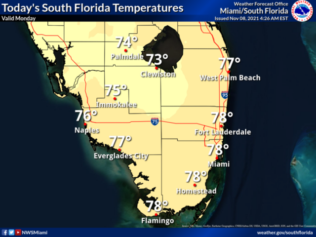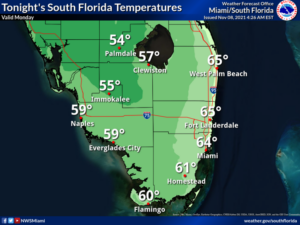

Monday features another cool morning, but lots of sun will get a warming trend under way. Look for a cool and sometimes gusty breeze. A high risk of dangerous rip currents is in place at the Atlantic beaches through Wednesday. Minor coastal flooding is possible near high tide at the Atlantic coast. Highs on Monday will be in the upper 70s in the east coast metro area and the mid-70s along the Gulf coast.
LIVE RADAR 24/7 (Click Here Then Press Play)
Tuesday will be sunny along the Gulf coast, while the east coast metro area will see good sun, clouds at times, and a few late day showers. Tuesday’s highs will be in the low 80s.
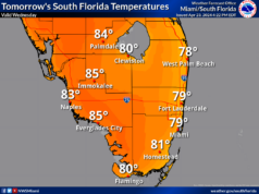
Wednesday will be sunny once again along the Gulf coast, but look for a mix of sun and clouds with a few showers in the east coast metro area. Wednesday’s highs will be mostly in the mid-80s.
Veterans Day will feature a mix of sun and clouds with afternoon showers in the east coast metro area. Thursday’s highs will be in the mid-80s.
Friday’s forecast calls for a mix of sun, clouds, and showers. Highs on Friday will be mostly in the low 80s.
Wanda has transitioned to a post-tropical cyclone and is on its way to oblivion. We’re now keeping an eye on a non-tropical low a couple of hundred miles off the coast of the Carolinas. This system has a low chance of becoming a subtropical storm as it moves eastward into the open Atlantic this week.


