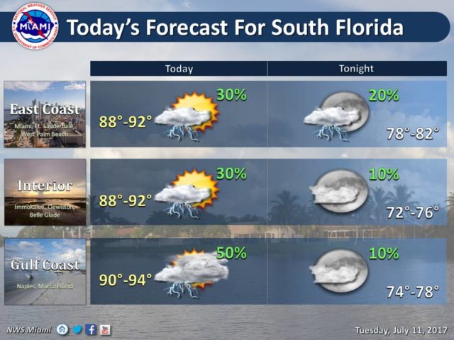
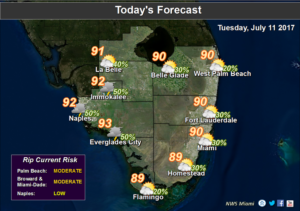
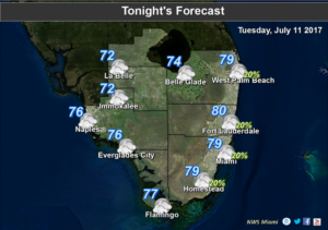
South Florida is still locked in a pattern of early rain on Tuesday, but the afternoon should be mostly dry. After some overnight storms, Tuesday will bring passing showers and storms from mid-morning into lunchtime. Then we’ll see sun and clouds, with the bulk of the storms pushed well inland by the sea breeze. Highs on Tuesday will be in the low 90s.
Wednesday will feature early showers and storms again, followed by sun and clouds and the chance of an afternoon storm mostly in the western suburbs. Wednesday’s highs will be in the low 90s.
Look for periods of heavy rain and gusty winds on Thursday as the moisture from what was Tropical Depression # 4 moves in. Highs on Thursday will be near 90 degrees.
Friday will see showers and storms, along with some periods of sun. Friday’s highs will be near 90 degrees.
Saturday’s forecast includes a mix of sun and clouds and some afternoon storms developing along the sea breeze. Highs on Saturday will be in the low 90s.
We’ll continue to watch the tropics, but the National Hurricane Center doesn’t expect any development during the next 5 days.
Disclaimer
The information contained in South Florida Reporter is for general information purposes only.
The South Florida Reporter assumes no responsibility for errors or omissions in the contents of the Service.
In no event shall the South Florida Reporter be liable for any special, direct, indirect, consequential, or incidental damages or any damages whatsoever, whether in an action of contract, negligence or other tort, arising out of or in connection with the use of the Service or the contents of the Service. The Company reserves the right to make additions, deletions, or modifications to the contents of the Service at any time without prior notice.
The Company does not warrant that the Service is free of viruses or other harmful components