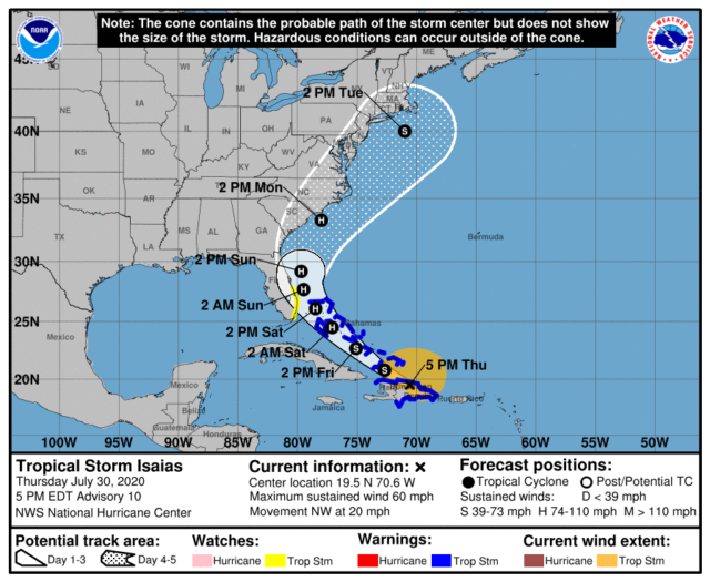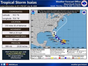
A tropical storm watch is now in effect from Ocean Reef to Sebastian Inlet as Tropical Storm Isaias makes its way northwestward. A tropical storm warning is in effect for the northwestern Bahamas.

The National Hurricane Center forecast at 5 pm Thursday calls for Isaias to become a hurricane on Friday. Its projected track brings it near or over the northwestern Bahamas on Saturday. It will be a close call for the east coast of South Florida. Expect tropical storm force gusts in the Upper Keys, Miami-Dade and Broward, with hurricane force gusts and sustained tropical storm force winds later on Saturday and into Sunday from the Palm Beach area northward. The Gulf coast of South Florida will see a blustery day but a low chance of tropical storm force winds. This could change, however, and we’ll be watching Isaias and the computer model runs closely Thursday night and Friday.
Friday will be the day to complete preparations in the east coast metro area of South Florida and the northwestern Bahamas. People in the Bahamas should put up hurricane shutters. In the east coast metro area of South Florida, shutters appear to be optional, but it’s still too early (unfortunately) to rule out shutters completely. Computer model runs this evening and overnight will be critical, and Friday morning will be the time to make the decision about shutters. In the meantime, do all of the other preparations you’d make fo rdealing with tropical storm force winds and possible power outages.


