Home Weather Arctic Air Moved Into Florida Today

Arctic Air Moved Into Florida Today

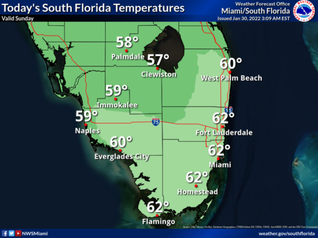
Sunday morning is off to a very cold start, and a wind chill advisory until mid-morning.  The day features lots of sun but the chill in the air will linger.  A high risk of dangerous rip currents remains along the Palm Beach County coast, and there’s a moderate rip current risk at the beaches of Miami-Dade and Broward and at the Gulf beaches.  Highs on Sunday will be in the low 60s.

LIVE RADAR 24/7 (Click Here Then Press Play)

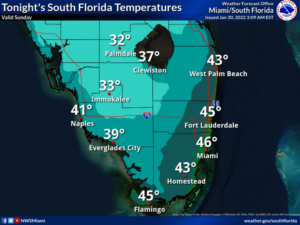
Monday morning will be cold again, with lows in the low to mid-40s.  The day will bring lots of sun and a few clouds as a warmup gets underway.  Monday’s highs will be in the low 70s.

Tuesday will start with morning lows in the 50s.  Then we’ll see breezy conditions and a mix of sun and clouds.  Tuesday’s highs will be mostly in the mid-70s.

Wednesday will feature good sun and some clouds on a brisk and gusty breeze.  Look for a shower or two in some east coast location.  Wednesday’s highs will be mostly in the upper 70s.

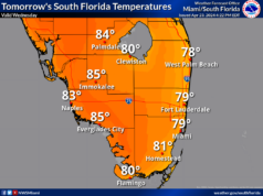
Thursday’s forecast calls for breezy conditions and a mix of sun, clouds, and a few showers.  Highs on Thursday will be mostly in the low 80s.

Donna Thomas has studied hurricanes for two decades. She holds a PhD in history when her experience with Hurricane Andrew ultimately led her to earn a degree in broadcast meteorology from Mississippi State University. Donna spent 15 years at WFOR-TV (CBS4 in Miami-Fort Lauderdale), where she worked as a weather producer with hurricane experts Bryan Norcross and David Bernard. She also produced hurricane specials and weather-related features and news coverage, as well as serving as pool TV producer at the National Hurricane Center during the 2004 and 2005 seasons. Donna also served as a researcher on NOAA's Atlantic Hurricane Database Reanalysis Project. Donna specializes in Florida's hurricane history.