Home Weather Warming Trend Begins

Warming Trend Begins

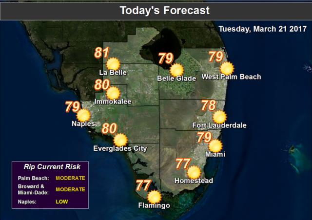
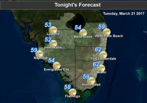
Warming TrendSouth Florida’s weather is mostly nice on Tuesday as a warming trend gets under way. After a cool morning with lows in the mid 50s to low 60s, Tuesday features good sun and some clouds on an ocean breeze. A moderate risk of dangerous rip currents is in place at the Atlantic beaches, especially in Palm Beach County. Tuesday’s highs will be in the upper 70s.

Wednesday will start out with a cool morning, but then good sun takes over, with just a few clouds around. Highs on Wednesday will be in the low 80s.

Thursday will bring a nice mix of sun and clouds during most of the day, followed by building clouds and a few late showers as a weak front approaches. Thursday’s highs will be in the low 80s.

Friday will be on the windy side, and clouds and showers will blow in. We’ll see an increasing risk of dangerous rip currents at the Atlantic beaches on Friday and into the weekend. Highs on Friday will be near 80 degrees.

Saturday features some sun, along with clouds and a few passing showers on the breeze. Look for highs near the 80 degree mark on Saturday.

Donna Thomas has studied hurricanes for two decades. She holds a PhD in history when her experience with Hurricane Andrew ultimately led her to earn a degree in broadcast meteorology from Mississippi State University. Donna spent 15 years at WFOR-TV (CBS4 in Miami-Fort Lauderdale), where she worked as a weather producer with hurricane experts Bryan Norcross and David Bernard. She also produced hurricane specials and weather-related features and news coverage, as well as serving as pool TV producer at the National Hurricane Center during the 2004 and 2005 seasons. Donna also served as a researcher on NOAA's Atlantic Hurricane Database Reanalysis Project. Donna specializes in Florida's hurricane history.