LIVE RADAR 24/7 (Click Here Then Press Play)
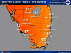
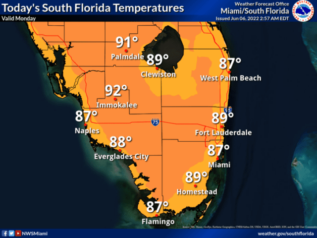
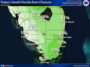
Tuesday will bring plenty of clouds, some sun at times, and lots of showers and storms to the east coast metro area. The Gulf coast will see a mix of sun and clouds with mostly afternoon showers and storms. Heavy rain and localized flooding are possible, especially in the east coast metro area Tuesday’s highs will be in the upper 80s.
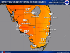
Wednesday will feature a mix of sun and clouds with periods of showers and storms, especially in the afternoon. Heavy rain is possible in spots. Wednesday’s highs will be in the upper 80s.
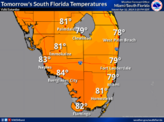
Thursday will see mostly sunny skies with periods of showers and storms, mostly in the afternoon. Thursday’s highs will be in the upper 80s.
Friday’s forecast calls for good sun and a few clouds, with periods of showers and storms. Highs on Friday will be in the upper 80s again.
In the tropics, Bermuda is feeling the effects of Tropical Storm Alex. At 5 am, Alex was located near 33.5 North, 66.7 West, about 140 miles northwest of Bermuda. Winds extend out far enough for tropical storm force gusts to have already reached Bermuda, and a tropical storm warning is in effect there. Maximum sustained winds in Alex were 65 miles per hour, and the system was moving east-northeast at 28 miles per hour. Alex is starting to weaken and is expected to become an extratropical low later on Monday.
Elsewhere, it’s quiet in the tropical Atlantic.


