LIVE RADAR 24/7 (Click Here Then Press Play)
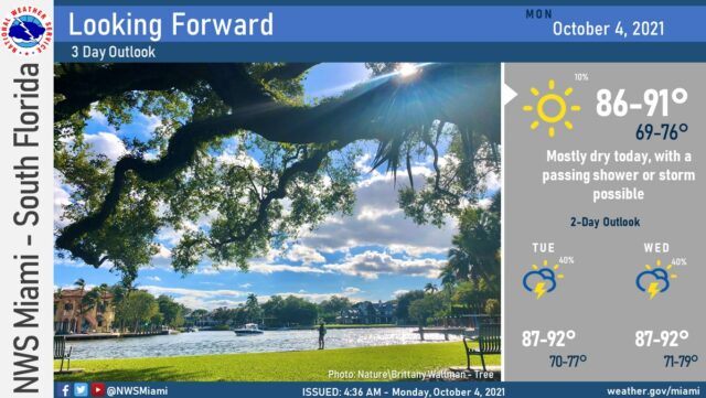
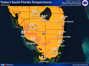
Tuesday will bring good sun and a few clouds to start, followed by some afternoon showers and maybe a storm in spots. Tuesday’s highs will be mostly in the upper 80s in the east coast metro area and near 90 degrees along the Gulf coast.
Wednesday will feature a mix of sun and showers, with a few storms at times. Wednesday’s highs will be near 90 degrees.
Thursday will be another day of good sun alternating with periods of showers. A few storms are also possible in spots. Thursday’s highs will be near 90 degrees.
Friday’s forecast calls for periods of sun alternating with passing showers and storms. Highs on Friday will be in the upper 80s.
In the tropics, Hurricane Sam is zipping into colder waters in the northern Atlantic. At 5 am Monday, Sam was located near 465 miles south-southeast of Cape Race, 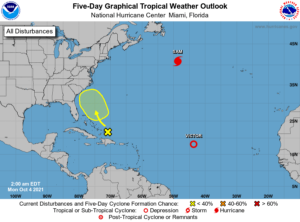
Elsewhere, Tropical Depression Victor is barely hanging on about 1500 miles west of the Cape Verde Islands. At 5 am, maximum sustained winds were 30 miles per hour, and Victor is expected to become a remnant low later on Monday. And we’re also watching an area of showers east of the southeastern Bahamas that has a low chance of developing as it moves slowly to the northwest during the next five days. This feature should remain east of Florida and the northeastern Bahamas, but it may increase our rain chances later this week.


