Home Weather A ‘Cold’ Front Is On Its Way To South Florida

A ‘Cold’ Front Is On Its Way To South Florida

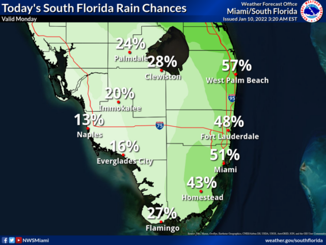
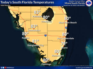
Monday features clouds and showers in the east coast metro area and a mix of sun with a few showers and maybe a stray storm along the Gulf coast.  A moderate risk of dangerous rip currents is in place along the Palm Beach County coast.  Highs on Monday will be near 80 degrees in the east coast metro area and in the low 80s along the Gulf coast.

LIVE RADAR 24/7 (Click Here Then Press Play)

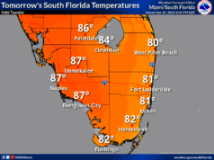
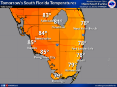
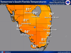
Tuesday will see a cold front move into the area, so look for breezy conditions, partly sunny skies, and lingering showers, especially in the east coast metro area.  Look for an increasing rip current risk at the Atlantic beaches.  Tuesday’s highs will be in the mid-70s.

Wednesday will bring good sun and some clouds at times on a cool and gusty breeze.  Wednesday’s highs will be in the mid-70s.

Thursday will feature a cool morning, with lows mostly in the mid to upper 50s.  Then the day will see plenty of sun with a cool breeze, which will be gusty near the Gulf coast.  Thursday’s highs will be in the low to mid-70s.

Friday’s forecast calls for a chilly morning, followed by a sunny but cool afternoon.  Highs on Friday will be in the low to mid-70s.

Donna Thomas has studied hurricanes for two decades. She holds a PhD in history when her experience with Hurricane Andrew ultimately led her to earn a degree in broadcast meteorology from Mississippi State University. Donna spent 15 years at WFOR-TV (CBS4 in Miami-Fort Lauderdale), where she worked as a weather producer with hurricane experts Bryan Norcross and David Bernard. She also produced hurricane specials and weather-related features and news coverage, as well as serving as pool TV producer at the National Hurricane Center during the 2004 and 2005 seasons. Donna also served as a researcher on NOAA's Atlantic Hurricane Database Reanalysis Project. Donna specializes in Florida's hurricane history.