


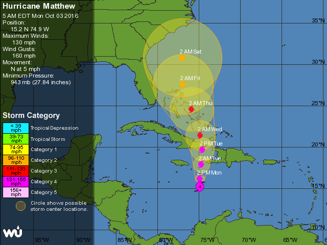
 Dangerous Hurricane Matthew is moving slowly northward toward Haiti and eastern Cuba. At 5 am Monday, Matthew was located near 15.2 North, 74.9 West, or 230 miles south-southeast of Port au Prince, Haiti. Maximum sustained winds were 130 miles per hour, and the hurricane was moving north at 5 miles per hour. Haiti will experience tropical storm force winds beginning on Monday, and a rainfall total of 20 inches or more will cause potentially catastrophic flooding and mudslides.
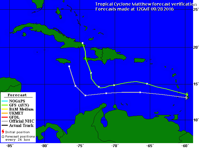 Matthew will pass over eastern Cuba on Tuesday, then enter the southeastern Bahamas. A hurricane watch is in effect for the central Bahamas, which should feel effects of Matthew beginning late Tuesday. Matthew is forecast to linger over the central and northwestern Bahamas, with closest approach to South Florida on Thursday into early Friday.
We in South Florida may not be in the forecast “cone,” but we’ll need to watch Matthew carefully to make sure it doesn’t deviate from the forecast track in the days ahead.
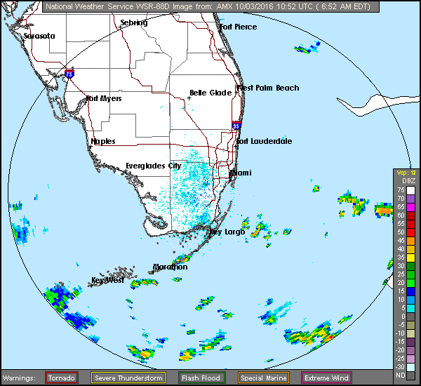 South Florida will see some passing storms on Monday as we watch Matthew moving in the Caribbean. Our weather on Monday features building breezes along the east coast and in the Upper Keys, and a moderate risk of dangerous rip currents at least through Tuesday.
We’ll see showers and storms move through the area, and highs will be in the upper 80s. Tuesday will be breezy with a few showers and storms in spots. Tuesday’s highs will be in the mid to upper 80s.
Our Wednesday and Thursday forecasts will depend on the exact track, forward speed, and strength of Matthew, but at this point, we’ll say conditions will be breezy, and passing showers and storms will be around on both days. Our highs on Wednesday and Thursday will be in the mid 80s.


")


