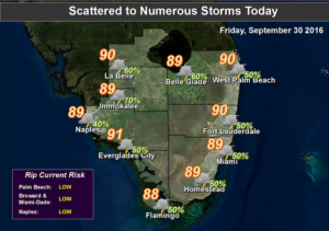

Friday will feature scattered afternoon storms around the area with highs mostly in the upper 80s.
Some afternoon storms are in the forecast for Saturday, but most of them will pop up in the interior and on the Gulf coast. Highs will be near 90 degrees.
More showers and storms will develop around South Florida on Sunday, and highs will be around the 990 degree mark.
Some afternoon storms will develop along a building ocean breeze on Monday, and most of the activity will be in the interior, and along the Gulf coast. Highs will be in the upper 80s.
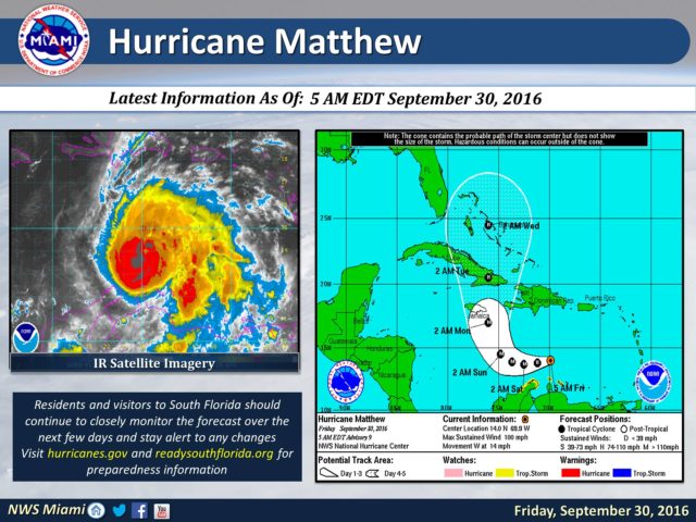
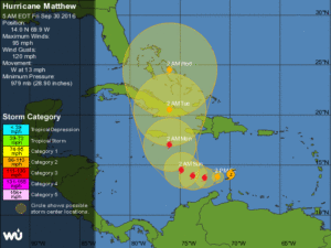
Our weather on Tuesday is dependent on the track and intensity of Matthew, which is forecast to begin affecting the central Bahamas by then.

Currently, tropical storm warnings are up for Aruba, Bonaire, Curacao, and parts of the Venezuelan coast. Matthew is forecast to move into the Bahamas on Tuesday and make its closest approach to South Florida on Wednesday.
South Florida will need to watch Matthew carefully this weekend and be ready to take action if necessary early next week.
[vc_message message_box_style=”3d” message_box_color=”turquoise”]By Donna Thomas, SouthFloridaReporter.com Meteorologist, Sept. 30, 2016[/vc_message]


