


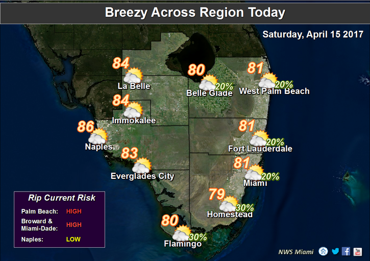
 We’ll have to settle for some “unsettled” conditions this holiday weekend. Luckily, there’s no worry of storms but a wind surge is in progress. Onshore winds will keep causing problems along the Atlantic beaches extending into the Florida Keys. The same gusty breeze will also send a few showers out of the ocean as they pass by select areas of south Florida.
 Nothing in the way of rain is likely to last long. Just be prepared for a few nuisance showers, including the chance for a heavy downpour, or two.
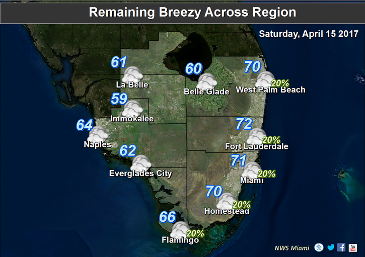
The easterly winds should start decreasing after the upcoming weekend, mainly late Monday. Looking ahead, the long range forecast appears less spring-like.
Muggy air will make a gradual comeback next week. With the higher humidity levels, we may see some isolated thunderstorms. These would be more likely to occur over inland areas.
Of course, rainfall is needed this time of the year and especially due to drought-like conditions over the Everglades.
We’ll just hope the lightning potential (next week) doesn’t spawn any new brush fires.
Source: WSVN/7 News


