Home Weather Today Starts With Sun Then Clouds And Finally Storms For Florida

Today Starts With Sun Then Clouds And Finally Storms For Florida

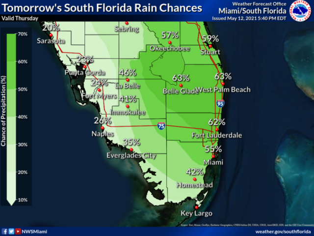
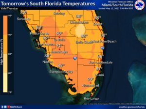
Thursday features a mix of sun and clouds with periods of storms and showers in the afternoon, especially in the east coast metro area.  Heavy rain and localized flooding is possible in some east coast metro locations. We could also see a strong storm or two with damaging winds and dangerous lightning.  Highs on Thursday will be in the low 90s in the east coast metro area and the upper 80s along the Gulf coast.

LIVE RADAR 24/7 (Click Here Then Press Play)

Friday will bring clouds, plenty of showers, and some storms as a front moves through.  Look for an increasing risk of dangerous rip currents at the Atlantic beaches on Friday and into the weekend.  Friday’s highs will be in the mid-80s in the east coast metro area and the upper 80s along the Gulf coast.

Saturday will be mostly sunny with a few afternoon showers along the Gulf coast, while the east coast metro area will see a mix of sun and clouds with some mid to late afternoon showers.  Saturday’s highs will be mostly in the mid-80s in the east coast metro area and near 90 degrees along the Gulf coast.

Sunday will feature good sun, some clouds on a brisk and gusty ocean breeze, and some afternoon showers.  Sunday’s highs will be in the mid-80s in the east coast metro area and the upper 80s along the Gulf coast.

Monday’s forecast calls for mostly sunny skies with afternoon showers and storms.  Highs on Monday will be in the mid-80s in the east coast metro area and the upper 80s along the Gulf coast.

[vc_message message_box_style=”solid-icon” message_box_color=”blue”]By Donna Thomas, SouthFloridaReporter.com, certified Meteorologist, May 13, 2021[/vc_message]
Donna Thomas has studied hurricanes for two decades. She holds a PhD in history when her experience with Hurricane Andrew ultimately led her to earn a degree in broadcast meteorology from Mississippi State University. Donna spent 15 years at WFOR-TV (CBS4 in Miami-Fort Lauderdale), where she worked as a weather producer with hurricane experts Bryan Norcross and David Bernard. She also produced hurricane specials and weather-related features and news coverage, as well as serving as pool TV producer at the National Hurricane Center during the 2004 and 2005 seasons. Donna also served as a researcher on NOAA's Atlantic Hurricane Database Reanalysis Project. Donna specializes in Florida's hurricane history.