Home Weather September Sun And Storms Continue Around Florida; Keeping Watch On The Tropics

September Sun And Storms Continue Around Florida; Keeping Watch On The Tropics

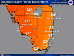
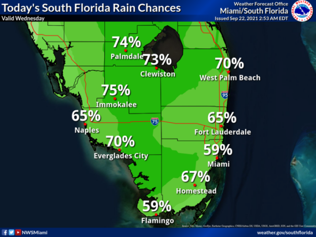
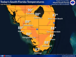
Wednesday features plenty of sun, a few clouds, and some east coast showers in the morning, followed by showers and storms around South Florida during the mid to late afternoon.  Highs on Wednesday will be mostly in the upper 80s.

LIVE RADAR 24/7 (Click Here Then Press Play)

Thursday may be the first full day of fall, but it will still feel like summer as a front stalls out to our north.  Look for good sun in the morning and showers and storms in the afternoon again.  Thursday’s highs will be in the upper 80s along the coasts and the low 90s well inland.

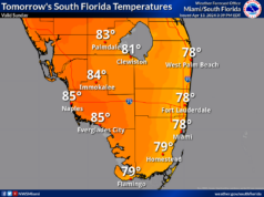
Friday will bring mostly sunny skies in the morning and plenty of showers and a few storms during the mid to late afternoon.  Friday’s highs will be mostly in the upper 80s.

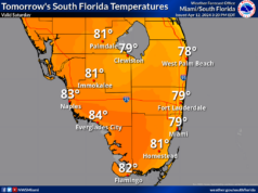
Saturday will feature some sun alternating with periods of showers and storms.  Saturday’s highs will be mostly in the upper 80s.

Sunday’s forecast calls for mostly sunny skies in the morning and some showers and storms, mostly in the afternoon.  Highs on Sunday will be in the upper 80s.
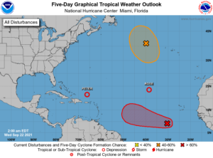
In the tropics, Peter and Rose are both tropical depressions.  At 5 am, TD Peter was located near 21.5 North, 66.1 West, about 215 miles north of San Juan, Puerto Rico.  Maximum sustained winds were 35 miles per hour, and Peter was moving northwest at 12 miles per hour.  And Tropical Depression Rose remains in the far eastern Atlantic.  At 5 am, TD Rose was located near 23.4 North, 38.4 West, and was moving northwest at 8 miles per hour.  Maximum sustained winds were 35 miles per hour, but Rose is expected to dissipate on Friday.

Elsewhere, the remnants of Odette have a medium chance of redeveloping into a depression.  And we continue to watch the wave making its way through the eastern Atlantic.  While it doesn’t yet have a well-defined center, this feature is expected to become a tropical depression in the next day or two.

Donna Thomas has studied hurricanes for two decades. She holds a PhD in history when her experience with Hurricane Andrew ultimately led her to earn a degree in broadcast meteorology from Mississippi State University. Donna spent 15 years at WFOR-TV (CBS4 in Miami-Fort Lauderdale), where she worked as a weather producer with hurricane experts Bryan Norcross and David Bernard. She also produced hurricane specials and weather-related features and news coverage, as well as serving as pool TV producer at the National Hurricane Center during the 2004 and 2005 seasons. Donna also served as a researcher on NOAA's Atlantic Hurricane Database Reanalysis Project. Donna specializes in Florida's hurricane history.