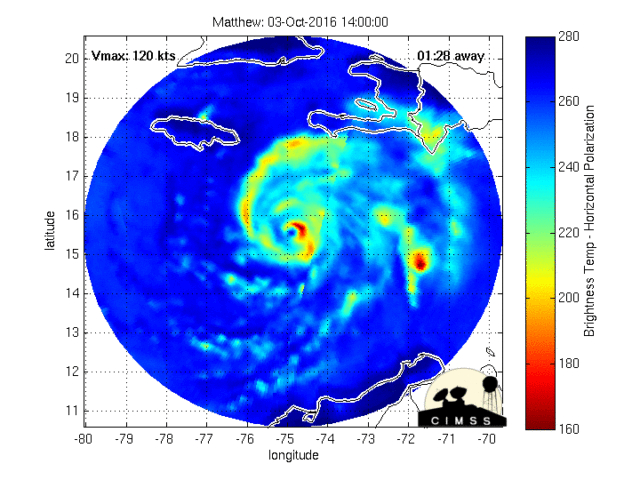
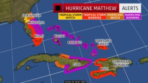
The central Bahamas will feel the impact of Matthew later on Wednesday and all day Thursday as the hurricane moves into the northwestern Bahamas. All preparations need to be completed, and people need to be in a safe location away from the effects of storm surge.
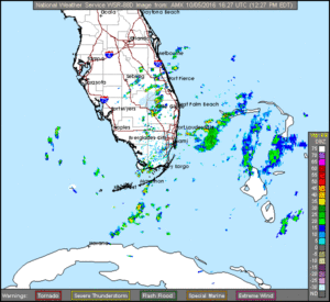
South Florida’s weather will begin to deteriorate overnight on Wednesday into Thursday, with Matthew’s closest approach late Thursday afternoon into Friday morning. Expect damaging wind gusts, periods of heavy rain, and the possibility of isolated tornadoes.
All preparations, including putting up shutters (strongly recommended for Broward and Palm Beach counties) should be completed by Wednesday night. It will not be safe to drive by late morning on Thursday, so be in a safe place before that time.
Remember, Matthew’s exact track (which no computer model can predict with complete accuracy) will make an enormous difference in weather conditions in our area, so stay informed.
FROM THE BROWARD EOC:
All areas of Broward County are under a Hurricane Warning due to Hurricane Matthew. Tropical Storm force winds are expected in Broward County Thursday morning with strongest winds by Thursday afternoon into Friday mid-day. There is also a possibility of tornado activity.
There is a voluntary evacuation for residents in low-lying areas and mobile homes. Nine County shelters will open at 9PM, tonight, Wednesday, October 5th.
Residents are strongly encouraged to take protective actions and begin to implement their family emergency plan in preparation for the arrival of Matthew. At this time, residents should:
- Put up shutters. Bring in patio furniture and loose objects from around your home.
•Make plans to evacuate if you choose to do so.
•Do not trim trees and vegetation at this time. Secure large items and loose tree trimmings around your home or business
The Broward County Emergency Operations Center will go to a Level I (fully activated operation) at 7AM, Thursday. The Broward County Call Center, 311, is now open 24/7 as an Emergency Hotline to answer resident’s questions.
The latest closings and cancellations can be found on broward.org/hurricane. Travelers are advised to call their airlines and cruise lines for cancellations.


