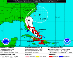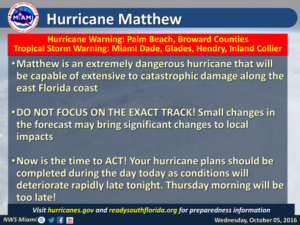
As Matthew approaches the southeastern Bahamas on Wednesday, a hurricane warning is now in effect for Broward and Palm Beach counties. This means hurricane conditions (including sustained winds of 74 miles per hour and above) are expected within 36 hours.
Tropical Storm Warning:
A tropical storm warning is in effect for Miami-Dade, mainland Monroe County and the Keys, and inland portions of Collier County. These areas should expect tropical storm conditions, including damaging winds, within 36 hours.
West Coast:
As of early Wednesday, Naples and Marco Island were not included in the tropical storm warning, but that could change later on Wednesday. All of Florida’s east coast is under either watches or warnings for a hurricane that is forecast to move just offshore.
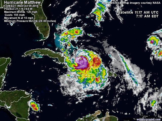
Matthew remains a powerful and very dangerous hurricane, even after interacting with eastern Cuba. At 5 am Wednesday, Matthew was located near 21.1 North, 74.6 West, or 155 miles south-southeast of Long Island in the Bahamas. Maximum sustained winds were 125 miles per hour, but strengthening is likely later on Wednesday. Matthew was moving north at 10 miles per hour, and we’re watching very closely for the timing of a northwestward turn that it is expected to make on Wednesday, because that will determine just how close Matthew’s core comes to the coast of Florida.
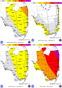
Conditions will slowly improve during the latter part of Friday. Expect damaging winds, periods of heavy rain, possible power outages, and the threat of isolated tornadoes.
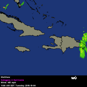
Finish Preps today
South Floridians have a fairly good weather day on Wednesday to prepare, with a few early showers, spotty afternoon storms, and highs in the upper 80s. Winds will be light enough to safely put up shutters Wednesday, and residents of Palm Beach and Broward are urged to do that. While Miami-Dade and the Keys remain under a tropical storm warning early Wednesday, residents there should put up shutters, and those who have accordion or roll-down shutters should close them. Make sure all errands to the supermarket, gas station, or home improvement store are completed on Wednesday. Everyone should be in place no later than overnight Wednesday into Thursday to ride out Matthew.


