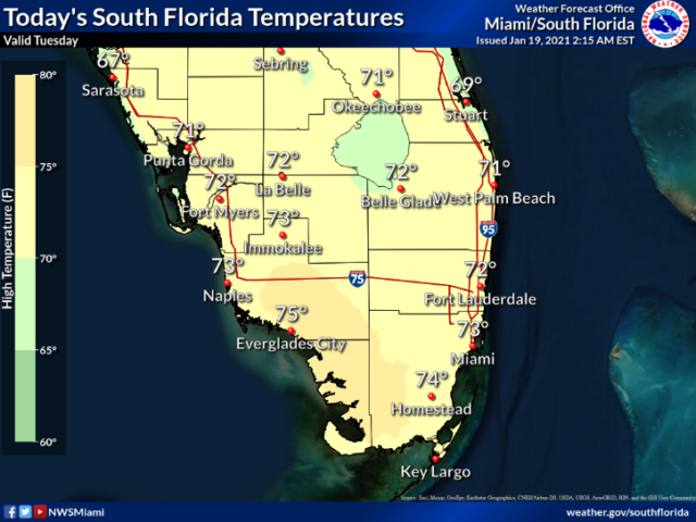
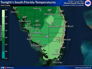
Tuesday features a cool start, turning into a sunny, dry, and pleasant day with an ocean breeze along the Atlantic coast. Look for an increasing risk of dangerous rip currents at the Atlantic beaches as the workweek progresses. Highs on Tuesday will be mostly in the mid-70s.
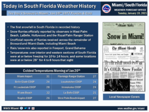
Today in History reminds us over 4 decades ago it was cold enough for the first snowfall in South Florida recorded history!
LIVE RADAR 24/7 (Click Here Then Press Play)
Wednesday morning will start with lows in the mid-50s to low 60s. Then the day will be another dry January day with lots of sun and just a few clouds on an ocean breeze. Wednesday’s highs will be in the mid-70s.
Thursday will feature good sun and a few clouds as our quiet weather pattern continues. Thursday’s highs will be in the mid-70s.
Friday will bring plenty of sun and some clouds at times. Friday’s highs will be in the mid-70s along the Gulf coast and the upper 70s in the east coast metro area.
Saturday’s forecast calls for sunny skies. Highs on Saturday will be in the mid-70s along the Gulf Coast and near 80 degrees in the east coast metro area.
Disclaimer
The information contained in South Florida Reporter is for general information purposes only.
The South Florida Reporter assumes no responsibility for errors or omissions in the contents of the Service.
In no event shall the South Florida Reporter be liable for any special, direct, indirect, consequential, or incidental damages or any damages whatsoever, whether in an action of contract, negligence or other tort, arising out of or in connection with the use of the Service or the contents of the Service. The Company reserves the right to make additions, deletions, or modifications to the contents of the Service at any time without prior notice.
The Company does not warrant that the Service is free of viruses or other harmful components