 South Florida is preparing for at least a very close call with Hurricane Irma this weekend. We will feel impacts from this hurricane, regardless of any changes in the official forecast track and the computer models during the few days. Irma has a large wind field — so expect at least some periods of hurricane force winds (and sustained tropical storm force winds) on Saturday through Sunday and possibly into Monday. There’s a strong possibility of life-threatening storm surge in portions of the Keys and the barrier islands — so if you’re ordered to evacuate, get out quickly. Expect heavy rain with Irma, so flooding is possible in many locations (not just the usual suspects). The message is: get ready now and be in a safe place by Friday night — and plan on staying there until sometime on Monday.
Be sure and follow us on Facebook and Twitter for Hurricane Irma updates.
@SFLReporter @MediaAlert @TVNewsguy
 As of 5 am Thursday, there are no watches or warnings for Florida, but that is expected to change later in the morning. A hurricane warning is in effect for all of the Bahamas. Irma is expected to reach the Turks and Caicos Thursday evening.
Here’s the statistics on Irma as of 5 am Thursday. It was located near 20.0 North, 68.3 West, and was moving west-northwest at 17 miles per hour. Maximum sustained winds were 180 miles per hour, and some fluctuation in intensity is possible.
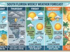
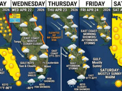
 We’ll have mostly decent weather to prepare on Thursday and Friday. Look for a mix of sun and clouds, high humidity, and a few afternoon storms on both days. Highs will be mostly in the low 90s, with some locations reaching the mid 90s. But it will feel as if temperatures are in the triple digits, so stay hydrated. Expect conditions to deteriorate on Friday night, so get all of your outdoor preparations done during the daylight hours on Friday.
Disclaimer
Artificial Intelligence Disclosure & Legal Disclaimer
AI Content Policy.
To provide our readers with timely and comprehensive coverage, South Florida Reporter uses artificial intelligence (AI) to assist in producing certain articles and visual content.
Articles: AI may be used to assist in research, structural drafting, or data analysis. All AI-assisted text is reviewed and edited by our team to ensure accuracy and adherence to our editorial standards.
Images: Any imagery generated or significantly altered by AI is clearly marked with a disclaimer or watermark to distinguish it from traditional photography or editorial illustrations.
General Disclaimer
The information contained in South Florida Reporter is for general information purposes only.
South Florida Reporter assumes no responsibility for errors or omissions in the contents of the Service. In no event shall South Florida Reporter be liable for any special, direct, indirect, consequential, or incidental damages or any damages whatsoever, whether in an action of contract, negligence or other tort, arising out of or in connection with the use of the Service or the contents of the Service.
The Company reserves the right to make additions, deletions, or modifications to the contents of the Service at any time without prior notice. The Company does not warrant that the Service is free of viruses or other harmful components.


