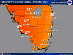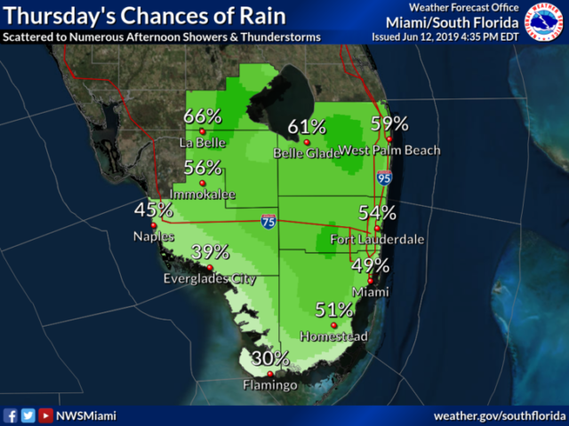
Showers and storms have returned to South Florida on Thursday, and they’ll be sticking around for a while. Thursday features sun at times (especially near the Gulf coast), but plenty of clouds, showers, and some storms. Highs on Thursday will be in the sticky low 90s.
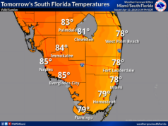
Friday will bring additional showers and storms — in the morning and early afternoon in the east coast metro area and in the afternoon elsewhere. Friday’s highs will be near 90 degrees.
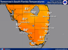
Saturday will be another day with periods of showers and storms. Saturday’s highs will be near 90 degrees.
Look for the greatest concentration of showers and storms to shift to the Gulf coast and the interior on Sunday, but passing showers and storms are still in the forecast for the eastern portion of our area. Sunday’s highs will be in the upper 80s near the east coast and near 90 degrees elsewhere.
Monday will feature some sun and periods of showers and storms, especially along the Gulf coast and well inland. Highs on Monday will be near 90 degrees.
The tropical Atlantic remains quiet.


