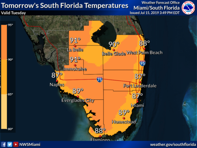
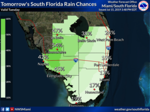
Wednesday will bring more widespread showers and storms to the western part of our area, while some passing showers are in the forecast for the east coast metro area. Wednesday’s highs will be in the low 90s.
Thursday will feature good sun with a few afternoon showers and a maybe a storm in the east coast metro area, while the Gulf coast and interior will see some sun, some clouds, and widespread showers. Thursday’s highs will be in the low 90s.
Look for sun, clouds, and showers again on Friday, with the western half of South Florida again seeing the bulk of the activity. Friday’s highs will be in the low 90s.
More of the same is on tap for Saturday — a mix of sun, clouds, and showers, with the Gulf coast and interior having the higher rain chances. Highs on Saturday will be in the low 90s.
What’s left of Barry continues to dump heavy rain on portions of the Mississippi River valley, and flash floods remain a problem for the region on Tuesday. Elsewhere, the tropical Atlantic is quiet.


