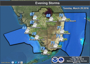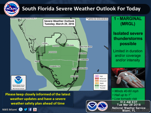
South Florida will be sticky Tuesday morning and stormy during the afternoon and evening.
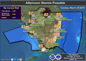
Look for building clouds, highs in the mid 80s, and storms developing around lunchtime on the west coast and after about 2 pm in the metro areas of Miami-Dade, Broward, and Palm Beach counties. Damaging winds, small hail, periods of heavy rain, and dangerous lightning are likely with these storms.
Activity will taper off during the evening, but some showers and will linger on a breezy Wednesday. Wednesday’s highs will be mostly in the mid 80s.
Thursday will be breezy with just a few passing showers, and highs will be in the mid 80s again.
Unsettled weather returns on Friday, and showers and storms will be in the forecast through the weekend.
It’s no April Fool’s joke — showers and storms return on Friday, kicking off a wet weekend. Friday’s highs will be in the mid to upper 80s as we continue to wonder what happened to spring.
[vc_message message_box_style=”3d” message_box_color=”turquoise”]By Donna Thomas, SouthFloridaReporter.com Meteorologist, Mar. 29, 2016
[/vc_message]Disclaimer
The information contained in South Florida Reporter is for general information purposes only.
The South Florida Reporter assumes no responsibility for errors or omissions in the contents of the Service.
In no event shall the South Florida Reporter be liable for any special, direct, indirect, consequential, or incidental damages or any damages whatsoever, whether in an action of contract, negligence or other tort, arising out of or in connection with the use of the Service or the contents of the Service. The Company reserves the right to make additions, deletions, or modifications to the contents of the Service at any time without prior notice.
The Company does not warrant that the Service is free of viruses or other harmful components