Home Weather Storms Early Then Clearing And Becoming Cooler

Storms Early Then Clearing And Becoming Cooler

Storms

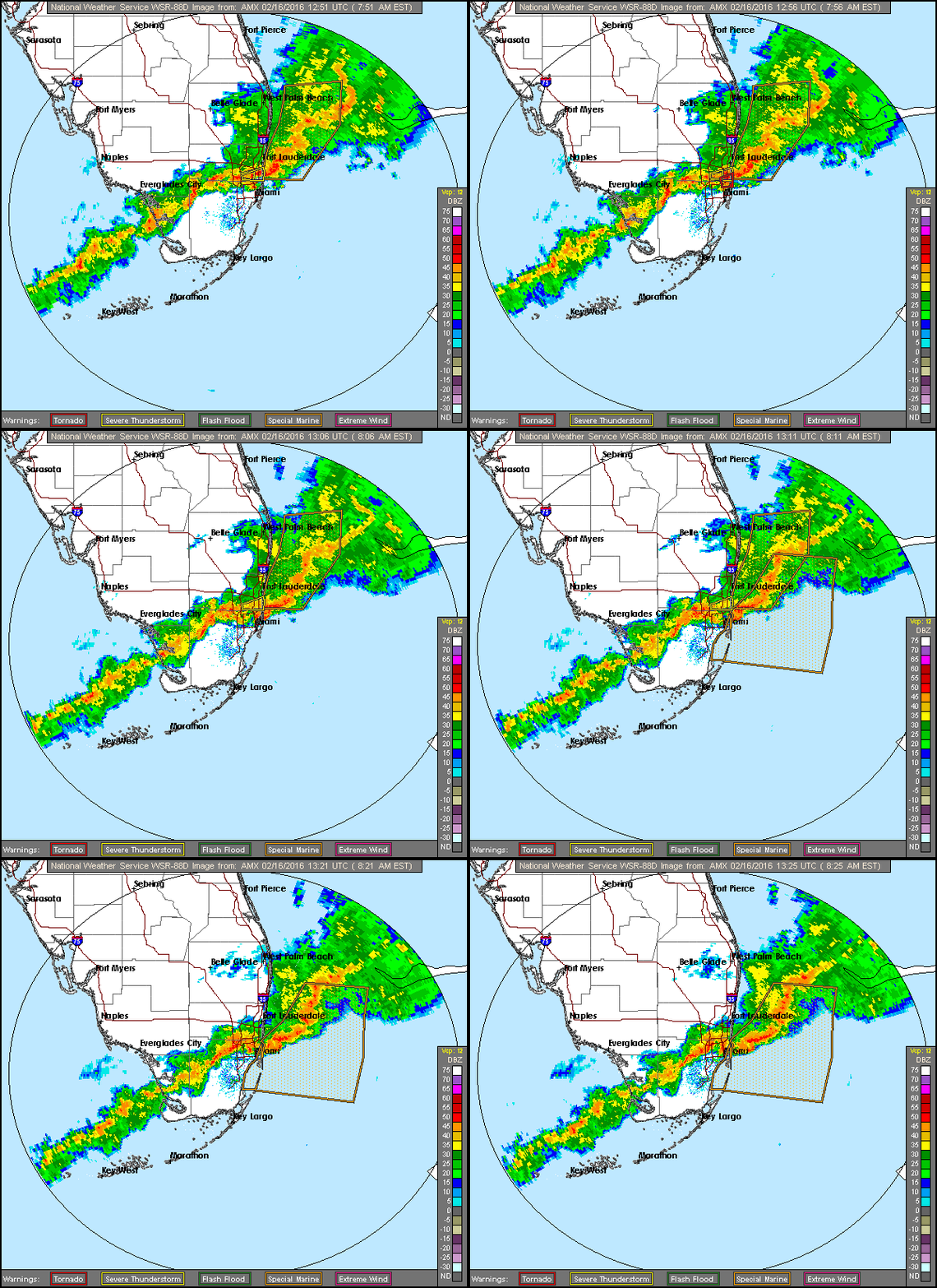
South Florida will see storms and showers move through Tuesday morning, followed by sun, clouds, and slightly cooler weather.
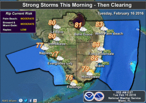
image4Look for periods of rain and gusty winds beginning before sunrise and lasting throughout the morning as a squall line moves through. Isolated tornadoes are possible with this system. Even with rain and clouds, highs will reach 80 degrees on Tuesday.

Wednesday morning will be calmer and cooler, with lows in the upper 50s and low 60s, and afternoon highs will be in the mid 70s.

We’ll see lots of sun, some clouds, cool mornings, and highs in the mid to upper 70s on Thursday and Friday.

Look for the breeze to increase on Saturday and Sunday, and highs will be in the upper 70s on mostly sunny weekend days.

[vc_message message_box_style=”3d” message_box_color=”turquoise”]

By Donna Thomas, SouthFloridaReporter.com Meteorologist, Feb. 16, 2016 

[/vc_message]
[vc_btn title=”More weather information” style=”outline” color=”primary” size=”lg” align=”center” css_animation=”appear” link=”url:http%3A%2F%2Fwww.srh.noaa.gov%2Fmfl%2F|title:More%20weather%20information|target:%20_blank”]
Donna Thomas has studied hurricanes for two decades. She holds a PhD in history when her experience with Hurricane Andrew ultimately led her to earn a degree in broadcast meteorology from Mississippi State University. Donna spent 15 years at WFOR-TV (CBS4 in Miami-Fort Lauderdale), where she worked as a weather producer with hurricane experts Bryan Norcross and David Bernard. She also produced hurricane specials and weather-related features and news coverage, as well as serving as pool TV producer at the National Hurricane Center during the 2004 and 2005 seasons. Donna also served as a researcher on NOAA's Atlantic Hurricane Database Reanalysis Project. Donna specializes in Florida's hurricane history.