

 Friday features good sun in the morning, followed by passing showers and storms in the afternoon. Highs on Friday will be in the low 90s in the east coast metro area and the mid-90s along the Gulf Coast and in the interior.
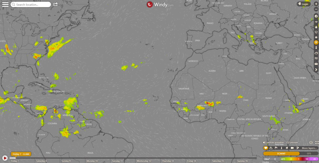
LIVE RADAR 24/7 (Click Here Then Press Play)
Saturday will be another summer day of morning sun and afternoon showers and storms. Saturday’s highs will be near 90 degrees in the east coast metro area and the low 90s along the Gulf coast.
Sunday will continue the summertime pattern, with good sun in the morning and showers and storms in the afternoon. Sunday’s highs will be near 90 degrees in the east coast metro area and the low to mid-90s along the Gulf coast.

Monday will feature mostly sunny skies in the morning and afternoon showers and storms. Monday’s highs will be mostly in the low 90s.
Tuesday’s forecast includes sun in the morning and widespread showers and storms in the afternoon. Highs on Tuesday will be in the low 90s.
 The tropics are quiet right now, but that’s not likely to last. The National Oceanic and Atmospheric Administration (NOAA) has updated its seasonal hurricane forecast, and it’s no surprise that it calls for a very busy remainder of the 2020 Atlantic season. NOAA’s new projections are for 19 to 25 named storms (tropical storms and hurricanes), 7 to 11 hurricanes, and 3 to 6 major hurricanes (category 3 and above). Very warm sea surface temperatures, reduced wind shear, weaker Atlantic trade winds, and a developing La Nina in the Pacific are the factors that are expected to make this hurricane season so active. So far, we’ve seen 9 named storms and 2 hurricanes. And if you’re wondering, we switch to the Greek alphabet (as we had to do in 2005) if we end up with more named storms than names on the annual list.
Disclaimer
Artificial Intelligence Disclosure & Legal Disclaimer
AI Content Policy.
To provide our readers with timely and comprehensive coverage, South Florida Reporter uses artificial intelligence (AI) to assist in producing certain articles and visual content.
Articles: AI may be used to assist in research, structural drafting, or data analysis. All AI-assisted text is reviewed and edited by our team to ensure accuracy and adherence to our editorial standards.
Images: Any imagery generated or significantly altered by AI is clearly marked with a disclaimer or watermark to distinguish it from traditional photography or editorial illustrations.
General Disclaimer
The information contained in South Florida Reporter is for general information purposes only.
South Florida Reporter assumes no responsibility for errors or omissions in the contents of the Service. In no event shall South Florida Reporter be liable for any special, direct, indirect, consequential, or incidental damages or any damages whatsoever, whether in an action of contract, negligence or other tort, arising out of or in connection with the use of the Service or the contents of the Service.
The Company reserves the right to make additions, deletions, or modifications to the contents of the Service at any time without prior notice. The Company does not warrant that the Service is free of viruses or other harmful components.


