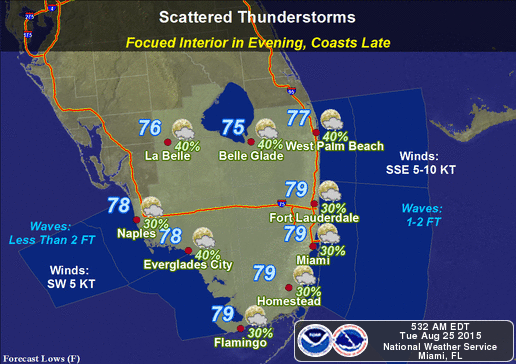
By Donna Thomas, SouthFloridaReporter.com Meteorologist, Aug 25, 2015 – South Florida will deal with more showers and storms on Tuesday, as newly-formed Tropical Storm Erika moves westward in the Atlantic. After some early showers in parts of South Florida, look for highs in the sticky low 90s and afternoon storms, bringing heavy downpours in spots. We’ll see stray showers overnight, then Wednesday will feature afternoon storms and highs in the low 90s. Afternoon storms and highs in the low 90s are in the forecast for Thursday, Friday, and into Saturday. Our weather on Sunday will depend on what happens with Erika.
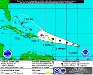
Tropical Storm Erika formed in the central Atlantic late Monday. At 5 am Tuesday, Erika was located near 14.6 North, 49.4 West, or about 840 miles east of the Leeward Islands. Erika was moving west at a rapid 20 miles per hour and had maximum sustained winds of 45 miles per hour. Some strengthening is possible, but Erika will also run into strong wind shear as it moves over the Leeward Islands early Thursday and near or over Puerto Rico on Friday. It is forecast to reach the southeastern Bahamas on Saturday, possibly as a Category 1 hurricane. However, computer models are not in agreement on its track and strength during that timeframe, so we’ll be watching this storm very closely for potential effects on South Florida ;ate in the weekend or early next week.
Elsewhere in the tropics, the wave that’s now just west of the Cape Verde Islands has a low chance of developing into a depression during the next 5 days.


