

 Saturday features good sun to start and periods of showers and storms in the afternoon. A high risk of dangerous rip currents remains at the Palm Beach County coast, and there’s a moderate rip current risk at the Miami-Dade and Broward beaches. Minor coastal flooding is likely along both the Atlantic and Gulf coasts. Highs on Saturday will be near 90 degrees.
LIVE RADAR 24/7 (Click Here Then Press Play)
Sunday will see mostly sunny skies to start, followed by widespread showers and storms in the afternoon. Sunday’s highs will be near 90 degrees.
Monday will be breezy and cloudy with periods of showers and storms as we feel the effects of a weak front. Monday’s highs will be in the upper 80s.

Tuesday will be breezy and sunny, with just the chance of an afternoon shower. Tuesday’s highs will be mostly in the mid-80s — to kick off South Florida’s version of autumn.
Wednesday’s forecast includes good sun, clouds at times, and a few passing showers. Highs on Wednesday will be in the mid 80s.
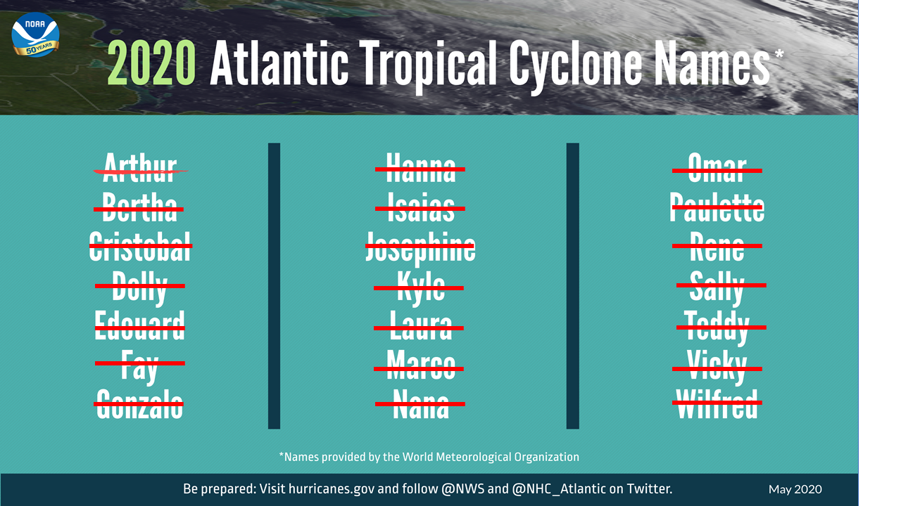 It’s so busy in the tropics that we’ve exhausted the 2020 list of names and have moved on to the Greek alphabet. Three systems reached tropical storm status on Friday — Wilfred, Alpha, and Beta. Tropical Storm Wilfred is in the eastern Atlantic, located near 13.1 North, 36.9 West at 5 am Saturday. Wilfred had maximum sustained winds of 40 miles per hour and was moving west-northwest at 17 miles per hour. This one should be short-lived and stay out to sea. The non-tropical low near the Portuguese coast became Subtropical Storm Alpha shortly before landfall. But Tropical Storm Beta, in the Gulf of Mexico, will be a threat to portions of the Gulf coast.
 Tropical Depression # 22 became Tropical Storm Beta late Friday afternoon. At 5 am Saturday, Beta was located near 26.0 North, 92.5 West, about 290 miles from the mouth of the Rio Grande. Beta had maximum sustained winds of 60 miles per hour and was moving north at 8 miles per hour. Watches are up for the Texas coast eastward into Louisiana. Beta is forecast to become a hurricane and move slowly along the Texas coast early next week.
 Hurricane Teddy is forecast to uncomfortably close to Bermuda on Sunday into Monday, and a tropical storm warning is in effect there. At 5 am, Teddy was located near 24.9 North, 58.2 West, about 650 miles southeast of Bermuda. Maximum sustained winds were 125 miles per hour, and Teddy was moving northwest at 14 miles per hour. Teddy is forecast to weaken to a tropical storm when it reaches the Canadian Maritimes on Tuesday.
 Elsewhere, Extra-Tropical Cyclone Paulette has a medium chance of redeveloping some tropical characteristics during the next several days. And a wave emerging into the eastern Atlantic from the African coast has a low chance of becoming a depression in the next few days.
Disclaimer
Artificial Intelligence Disclosure & Legal Disclaimer
AI Content Policy.
To provide our readers with timely and comprehensive coverage, South Florida Reporter uses artificial intelligence (AI) to assist in producing certain articles and visual content.
Articles: AI may be used to assist in research, structural drafting, or data analysis. All AI-assisted text is reviewed and edited by our team to ensure accuracy and adherence to our editorial standards.
Images: Any imagery generated or significantly altered by AI is clearly marked with a disclaimer or watermark to distinguish it from traditional photography or editorial illustrations.
General Disclaimer
The information contained in South Florida Reporter is for general information purposes only.
South Florida Reporter assumes no responsibility for errors or omissions in the contents of the Service. In no event shall South Florida Reporter be liable for any special, direct, indirect, consequential, or incidental damages or any damages whatsoever, whether in an action of contract, negligence or other tort, arising out of or in connection with the use of the Service or the contents of the Service.
The Company reserves the right to make additions, deletions, or modifications to the contents of the Service at any time without prior notice. The Company does not warrant that the Service is free of viruses or other harmful components.


