Home Weather Saturday Floridians Will See Sun, Showers And Storms

Saturday Floridians Will See Sun, Showers And Storms

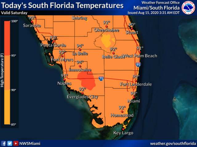
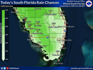
Saturday features a summertime mix of good sun and periods of showers and storms from late morning into the afternoon.  Look for more showers and storms in the western portions of South Florida.  Highs on Saturday will be in the steamy low 90s.

LIVE RADAR 24/7 (Click Here Then Press Play)

Sunday will bring lots of sun during the morning and early afternoon, with showers and storms developing during the mid to late afternoon hours.  Sunday’s highs will be in the low 90s.

Monday will see good sun in the morning and showers and storms in spots during the mid to late afternoon.  Monday’s highs will be in the low 90s.

Tuesday will feature good sun and a few clouds alternating with periods of showers and storms.  Tuesday’s highs will be in the low 90s.

Wednesday’s forecast includes some periods of sun along with plenty of showers and a few storms.  Highs on Wednesday will be in the low 90s once again.
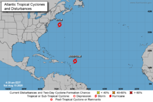
In the tropics, Tropical Storm Josephine was about 300 miles east of the northern Leeward Islands early Saturday morning.  At 5 am, Josephine was located near 18.9 North, 58.4 West, and was moving west-northwest at 15 miles per hour.  Maximum sustained winds were 45 miles per hour.  While Josephine is expected to stay well to the north, heavy rainfall is possible in the northern Leeward Islands, the Virgin Islands, and Puerto Rico this weekend.  After that, Josephine will been weakened by wind shear as it turns to the northwest and then north, far from South Florida.

Elsewhere, the low off the mid-Atlantic coast that we’ve been watching is now Tropical Storm Kyle.  At 5 am Saturday, Kyle was located near 38.7 North, 68.0 West, about 280 miles southeast of Providence, Rhode Island.  Kyle was moving east-northeast at 21 miles per hour and had maximum sustained winds of 45 miles per hour.  Kyle is forecast to lose its tropical characteristics as it accelerates into the open Atlantic.

Donna Thomas has studied hurricanes for two decades. She holds a PhD in history when her experience with Hurricane Andrew ultimately led her to earn a degree in broadcast meteorology from Mississippi State University. Donna spent 15 years at WFOR-TV (CBS4 in Miami-Fort Lauderdale), where she worked as a weather producer with hurricane experts Bryan Norcross and David Bernard. She also produced hurricane specials and weather-related features and news coverage, as well as serving as pool TV producer at the National Hurricane Center during the 2004 and 2005 seasons. Donna also served as a researcher on NOAA's Atlantic Hurricane Database Reanalysis Project. Donna specializes in Florida's hurricane history.