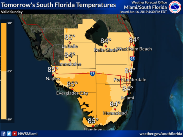
South Florida is still soggy on Monday as our rainy pattern continues. The day features plenty of clouds with periods of showers and storms. Localized flooding is possible in areas that are already soaked from the weekend’s rainy — especially southeastern Broward and northeastern Miami-Dade. Highs on Monday will be in the upper 80s.
Tuesday will be yet another day of clouds, showers, and stormy periods. Tuesday’s highs will be in the upper 80s.
The Gulf coast will dry out on Wednesday, with good sun and much lower chances of showers and storms. But Wednesday will feature more clouds than sun and periods of showers and storms in the east coast metro area and the interior. Wednesday’s highs will be near 90 degrees.
Thursday will bring good sun, clouds at times, and passing showers and storms in the afternoon. Thursday’s highs will be in the low 90s. Look for good sun and a few showers and storms on Friday. Highs on Friday will be in the low 90s.
We’re not expecting any tropical development during the next several days.


