

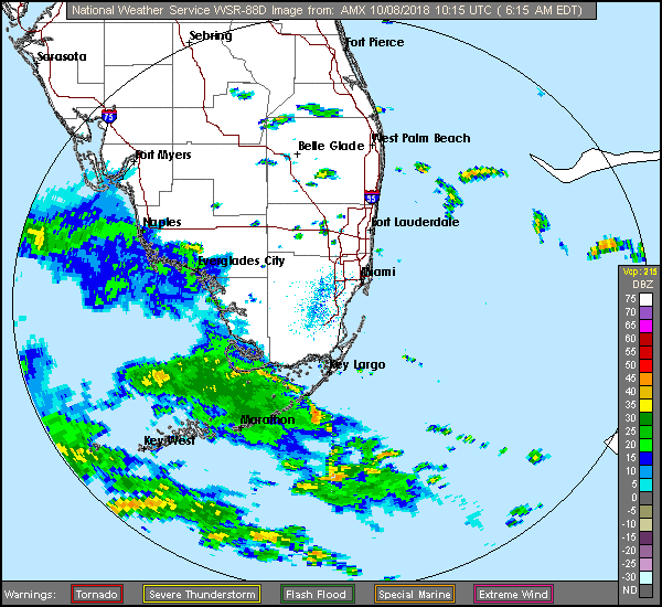
 A stormy week is ahead for South Florida as we watch the progress of Tropical Storm Michael. Our Monday starts with showers and a few storms, especially in the Middle and Lower Keys. Watch out for gusty winds bringing in additional showers and storms throughout the area. Localized flooding is possible, especially at low-lying coastal locations since we’re also experiencing king tides. A high risk of dangerous rip currents remains at the Atlantic beaches on Monday and for the next several days. Highs on Monday will be in the mid to upper 80s.
Tuesday will be wet and windy, with the possibility of localized flooding. Look for an increasing risk of rip currents at the Gulf beaches. Tuesday’s highs will be in the upper 80s.
The tropical moisture and windy conditions continue on Wednesday. Wednesday’s highs will be in the upper 80s.
Moisture lingers on Thursday, but the winds will decrease. Thursday’s highs will be in the upper 80s.
Friday will feature some sun, more clouds, and periods of showers and storms. Highs on Friday will be in the upper 80s.
 What was TD # 14 is now Tropical Storm Michael — and it will soon be a hurricane. At 5 am Monday, Michael was located near 20.6 North, 85.5 West, about 110 miles from the western tip of Cuba. Michael was moving north at 7 miles per hour, with maximum sustained winds at 70 miles per hour. A hurricane watch is in effect for the Florida panhandle and the Big Bend area of the state, and a hurricane warning is in effect for Pinar del Rio province in Cuba. Michael could be a major hurricane upon landfall in that general area on Wednesday. All of South Florida can expect gusty winds (even the possibility of an isolated tornado on Tuesday) and periods of heavy rains this week as Michael passes to our west.
 Elsewhere, Tropical Storm Leslie is still hanging on in the open Atlantic. At 5 am Monday, Leslie was located near 35.2 North, 47.9 West, and was moving east-southeast at 13 miles per hour. Maximum sustained winds were 50 miles per hour. We also have two other areas to watch — a low in the eastern Atlantic that has a low chance of development and a tropical wave off the African coast which also has a low chance of development.
Disclaimer
Artificial Intelligence Disclosure & Legal Disclaimer
AI Content Policy.
To provide our readers with timely and comprehensive coverage, South Florida Reporter uses artificial intelligence (AI) to assist in producing certain articles and visual content.
Articles: AI may be used to assist in research, structural drafting, or data analysis. All AI-assisted text is reviewed and edited by our team to ensure accuracy and adherence to our editorial standards.
Images: Any imagery generated or significantly altered by AI is clearly marked with a disclaimer or watermark to distinguish it from traditional photography or editorial illustrations.
General Disclaimer
The information contained in South Florida Reporter is for general information purposes only.
South Florida Reporter assumes no responsibility for errors or omissions in the contents of the Service. In no event shall South Florida Reporter be liable for any special, direct, indirect, consequential, or incidental damages or any damages whatsoever, whether in an action of contract, negligence or other tort, arising out of or in connection with the use of the Service or the contents of the Service.
The Company reserves the right to make additions, deletions, or modifications to the contents of the Service at any time without prior notice. The Company does not warrant that the Service is free of viruses or other harmful components.

")
")


")

")
")
