

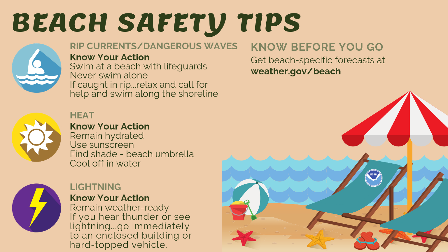
 Tuesday features lots of clouds, some sun, and showers and storms along the sea breeze during the afternoon. A moderate risk of dangerous rip currents remains at the Gulf beaches. Highs on Tuesday will be near 90 degrees.
LIVE RADAR 24/7 (Click Here Then Press Play)
Wednesday will bring a mix of sun and clouds along with periods of showers and storms. Wednesday’s highs will be near 90 degrees.
Thursday will feature good sun, some clouds, and showers and storms at times. Thursday’s highs will be in the mid 80s in the east coast metro area and near 90 degrees along the Gulf coast and well inland.

Look for mostly sunny skies Friday morning, followed by afternoon showers and storms. Friday’s highs will be in the mid 80s in the east coast metro area and the upper 80s elsewhere.
Saturday’s forecast calls for a mix of sun and clouds with periods of showers and storms. Highs on Saturday will be mostly in the upper 80s.
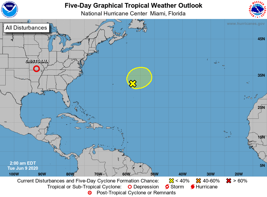 We’re continuing to watch what’s left of Tropical Depression Cristobal as it brings heavy rain to much of the Midwest. At 5 am Tuesday, the system was located about 80 miles east-southeast of Springfield, Missouri, and was moving north at 25 miles per hour. While still technically a tropical depression early on Tuesday, Cristobal will quickly lose its tropical characteristics during the day.
And the National Hurricane Center says a non-tropical low will form in the Atlantic, several hundred miles east of Bermuda. The NHC gives this feature a low chance of developing during the next five days.
Disclaimer
Artificial Intelligence Disclosure & Legal Disclaimer
AI Content Policy.
To provide our readers with timely and comprehensive coverage, South Florida Reporter uses artificial intelligence (AI) to assist in producing certain articles and visual content.
Articles: AI may be used to assist in research, structural drafting, or data analysis. All AI-assisted text is reviewed and edited by our team to ensure accuracy and adherence to our editorial standards.
Images: Any imagery generated or significantly altered by AI is clearly marked with a disclaimer or watermark to distinguish it from traditional photography or editorial illustrations.
General Disclaimer
The information contained in South Florida Reporter is for general information purposes only.
South Florida Reporter assumes no responsibility for errors or omissions in the contents of the Service. In no event shall South Florida Reporter be liable for any special, direct, indirect, consequential, or incidental damages or any damages whatsoever, whether in an action of contract, negligence or other tort, arising out of or in connection with the use of the Service or the contents of the Service.
The Company reserves the right to make additions, deletions, or modifications to the contents of the Service at any time without prior notice. The Company does not warrant that the Service is free of viruses or other harmful components.


