Home Weather Florida Will Be Steamy With Showers Today

Florida Will Be Steamy With Showers Today

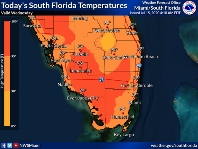
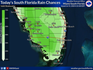
Wednesday features good sun and a few clouds to start.  Then showers and storms will develop along the sea breezes in the afternoon.  Look for much of the activity to be in western portions of South Florida.  HIghs on Wednesday will be in the low 90s in the east coast metro area and near the mid 90s along the Gulf coast — but it will feel dangerously hotter, so stay hydrated and out of the sun.

LIVE RADAR 24/7 (Click Here Then Press Play)

Thursday will bring early sun, followed by widespread showers and storms.  Thursday’s highs will be in the low 90s in the east coast metro area and a bit hotter  along the Gulf coast.

Friday will feature early sun and afternoon showers and storms along the Gulf coast, while the east coast metro area will see a mix of sun, clouds, showers, and storms throughout the day.  Friday’s highs will be mostly in the low 90s.

Look for sun, clouds, and periods of showers and storms on Saturday.  Saturday’s highs will be mostly in the low 90s.

Sunday’s forecast calls for clouds, showers, and storms.  Highs on Sunday will be in the low 90s.

The tropical Atlantic remains quiet.

Donna Thomas has studied hurricanes for two decades. She holds a PhD in history when her experience with Hurricane Andrew ultimately led her to earn a degree in broadcast meteorology from Mississippi State University. Donna spent 15 years at WFOR-TV (CBS4 in Miami-Fort Lauderdale), where she worked as a weather producer with hurricane experts Bryan Norcross and David Bernard. She also produced hurricane specials and weather-related features and news coverage, as well as serving as pool TV producer at the National Hurricane Center during the 2004 and 2005 seasons. Donna also served as a researcher on NOAA's Atlantic Hurricane Database Reanalysis Project. Donna specializes in Florida's hurricane history.