Home Weather A Tale of Two Coasts

A Tale of Two Coasts

coasts

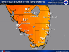
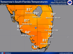
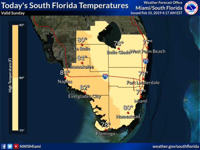
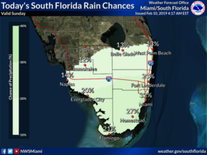
It’s a tale of South Florida’s two coasts on Sunday, with good sun on one side of the peninsula and clouds and showers on the other.  Sunday features plenty of sun and some clouds at times along the Gulf coast.  But look for clouds and passing showers on the breeze in the east coast metro area.  A high risk of dangerous rip currents is in place at the Atlantic beaches on Sunday through Monday.  Highs on Sunday will be in the low 80s along the Gulf coast and mostly in the upper 70s in the east coast metro area.

Monday will bring good sun, a few clouds, and showers in spots along the Gulf coast, while Miami-Dade and Broward will see mostly cloudy skies and periods of showers.  Monday’s highs will be in the low 80s.

Cloudy conditions and passing showers are back in the east coast metro area on Tuesday, while the Gulf coast will see periods of sun and developing showers as a front approaches.  Tuesday’s highs will be in the low 80s.

The front stalls out on Wednesday, and all of South Florida can expect cloudy skies and periods of showers.  Wednesday’s highs will be in the mid to upper 70s.

Clouds will linger on Thursday, but the showers will start to taper off.  Highs on Thursday will be in the upper 70s.

Donna Thomas has studied hurricanes for two decades. She holds a PhD in history when her experience with Hurricane Andrew ultimately led her to earn a degree in broadcast meteorology from Mississippi State University. Donna spent 15 years at WFOR-TV (CBS4 in Miami-Fort Lauderdale), where she worked as a weather producer with hurricane experts Bryan Norcross and David Bernard. She also produced hurricane specials and weather-related features and news coverage, as well as serving as pool TV producer at the National Hurricane Center during the 2004 and 2005 seasons. Donna also served as a researcher on NOAA's Atlantic Hurricane Database Reanalysis Project. Donna specializes in Florida's hurricane history.