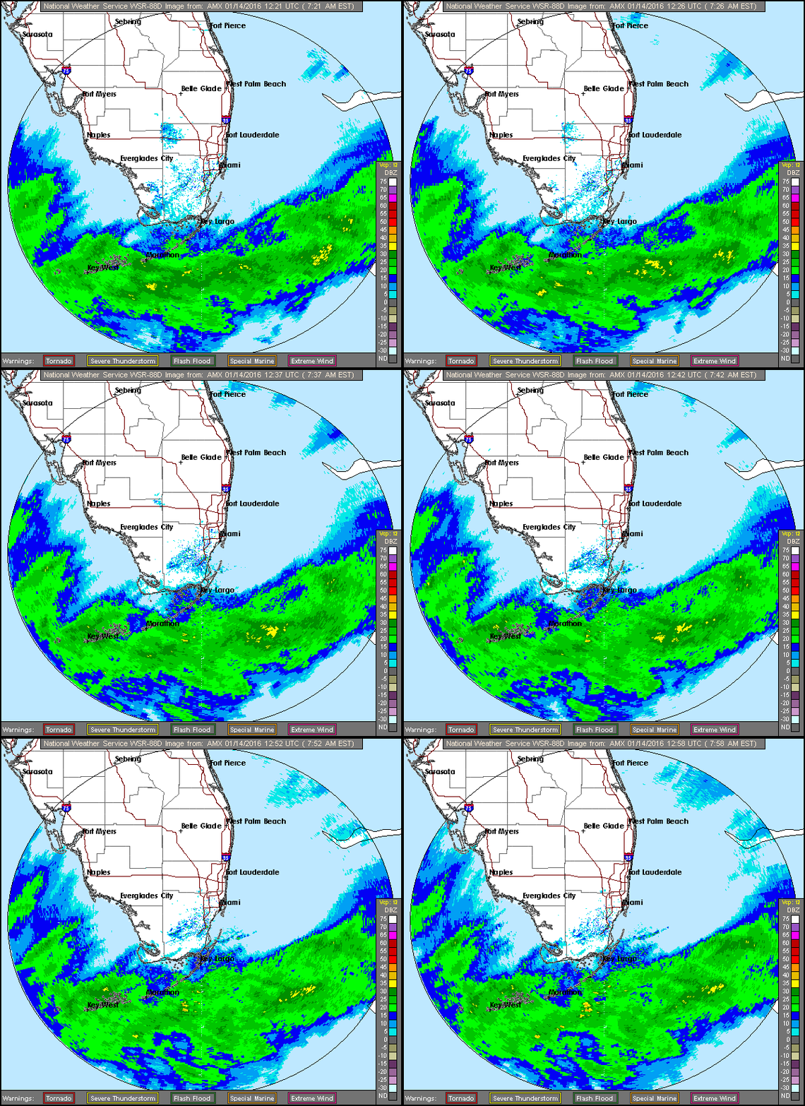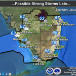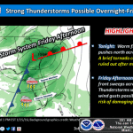
South Florida’s El Nino winter weather continues on Thursday with daytime showers followed by storms at night.Showers started early in the Keys and will spread onto the mainland as that front that cooled us down now moves northward as a warm front.


Saturday will be drier, but we can’t rule out showers in spots, and highs will be near 80 degrees.
Sunday’s highs will be near 80 degrees, and showers and storms will return in advance of another cold front.
Martin Luther King Day will be cool, breezy, and dry, with morning lows in the 50s and afternoon highs topping out around the 70 degree mark.
In the eastern Atlantic, Subtropical Storm Alex will bring gale force winds to the Azores Thursday night and Friday. At 5 am Thursday, the rare January subtropical cyclone was located near 30.1 North, 29.3 West, and was moving north-northeast at 18 miles per hour. Maximum sustained winds were 70 miles per hour. Alex will lose its tropical characteristics in a day or two before it merges with another weather system in the far north Atlantic.
By Donna Thomas, SouthFloridaReporter.com Meteorologist, Jan. 14, 2016
[/vc_message]


