


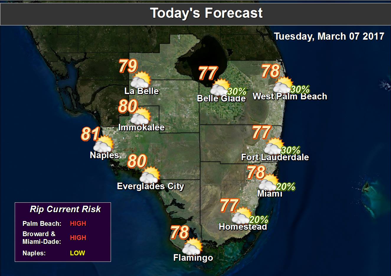
 South Florida will be breezy again on Tuesday, with quick showers zipping by. After some early morning scattered showers, look for clouds with some sun on yet another breezy day. Some strong wind gusts are possible on Tuesday, and a high risk of dangerous rip currents continues at the Atlantic beaches at least through the evening. Tuesday’s highs will be near the 80 degree mark in most places but in the upper 70s right at the coast.
Look for a mix of sun and clouds most of the day on Wednesday, with some showers late in the afternoon and into the evening as a weak front washes out to our north. Wednesday’s highs will be in the low 80s.
A few showers could linger early on Thursday, but then we’ll see a nice mix of sun and clouds. Highs on Thursday will be in the low 80s.
Friday features a mix of sun and clouds, with a few late showers possible as yet another weak front washes out over central Florida. Friday’s highs will be in the low 80s.
A mix of sun and clouds is in the forecast for Saturday. Highs will be in the low 80s on Saturday. And don’t forget to set your clocks forward one hour before going to sleep on Saturday night — because Daylight Saving Time begins early Sunday morning.


