Home Weather Watching the Skies and the Tropics

Watching the Skies and the Tropics

watching

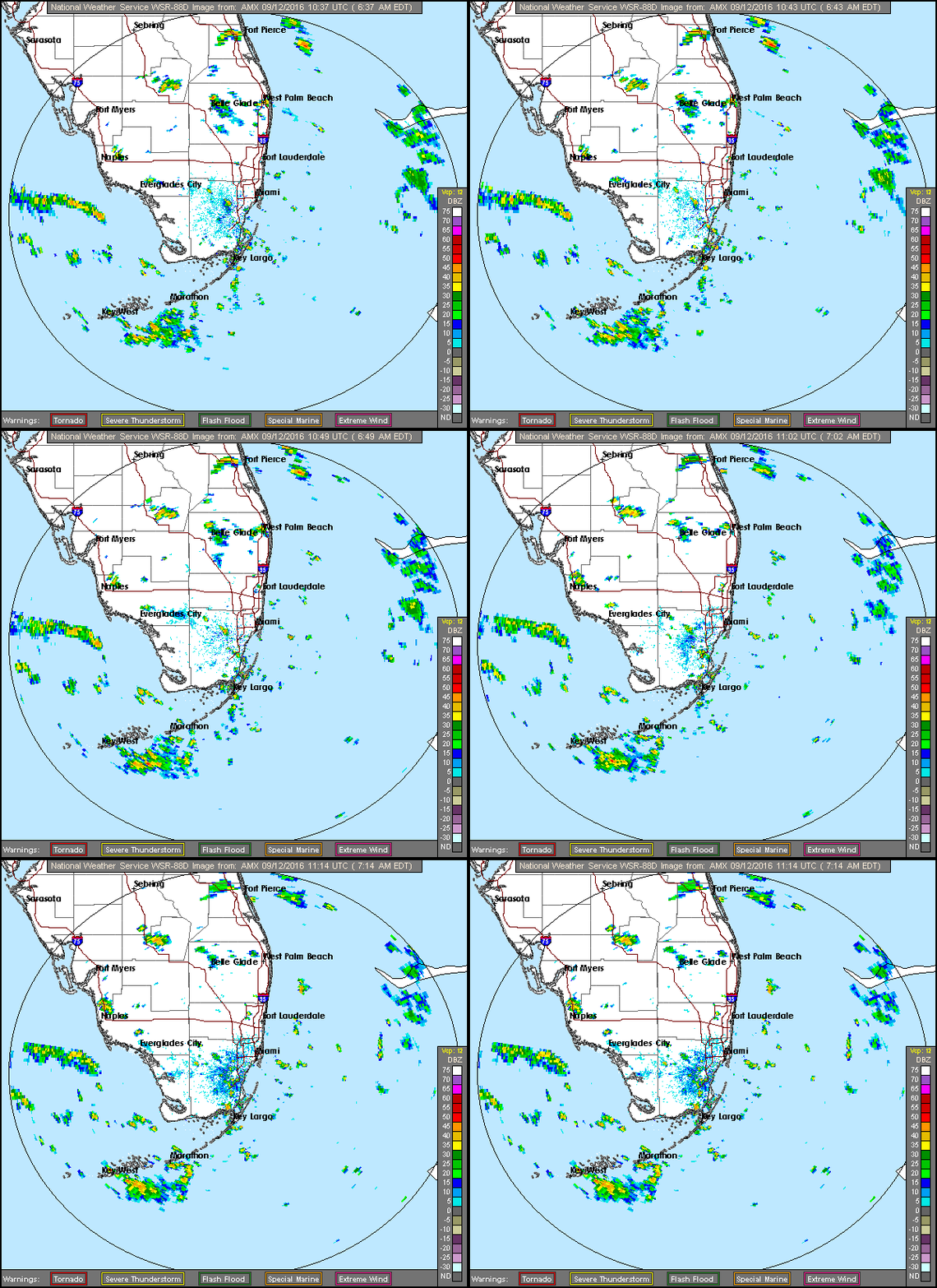
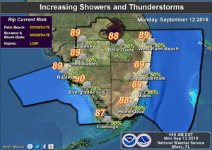
watchingSouth Florida is watching the skies for passing storms and showers on Monday and watching the tropics for a disturbance that will make the next couple of days unsettled. On Monday, we’ll see passing showers and storms as tropical moisture returns. Much of the storm activity will be concentrated in the interior and on the Gulf coast. We’ll see some sun along with the clouds, and highs will reach the upper 80s. The risk of dangerous rip currents remains at moderate levels at the Atlantic beaches on Monday into Tuesday.

watchingThat disturbance will be over us on Tuesday, bringing more showers and storms, and highs will again be in the upper 80s.

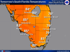
The disturbance could be just to our northwest on Wednesday, so another day of passing showers and storms is on tap for all of South Florida. Wednesday’s highs will be near 90 degrees.

We’ll see some early showers along the east coast on Thursday, highs near 90 degrees around the region, and some afternoon storm, especially in the western metro areas of Miami-Dade and Broward, in the interior, and in the Naples and Marco Island areas.

Friday will bring more typical September weather — a few afternoon storms and highs around the 90 degree mark.
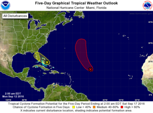
watchingIn the tropics, we’re watching that area of disturbed weather in the central Bahamas that’s moving our way. The National Hurricane Center gives it a low chance of developing as it moves over Florida and into the Gulf of Mexico over the next 5 days.

Elsewhere, the wave that’s a few hundred miles east of the Lesser Antilles has a high chance of developing into a depression over the next day or so. It is forecast to turn to the northwest, possibly taking a track similar to Gaston’s — remaining in the central Atlantic.

[vc_message message_box_style=”3d” message_box_color=”turquoise”]By Donna Thomas, SouthFloridaReporter.com Meteorologist, Sept. 12, 2016[/vc_message]
Donna Thomas has studied hurricanes for two decades. She holds a PhD in history when her experience with Hurricane Andrew ultimately led her to earn a degree in broadcast meteorology from Mississippi State University. Donna spent 15 years at WFOR-TV (CBS4 in Miami-Fort Lauderdale), where she worked as a weather producer with hurricane experts Bryan Norcross and David Bernard. She also produced hurricane specials and weather-related features and news coverage, as well as serving as pool TV producer at the National Hurricane Center during the 2004 and 2005 seasons. Donna also served as a researcher on NOAA's Atlantic Hurricane Database Reanalysis Project. Donna specializes in Florida's hurricane history.