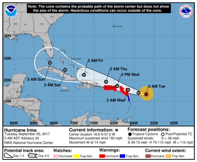
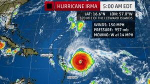
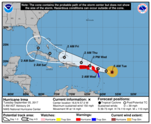
South Florida, don’t wait. Take the next few days to get ready for the impacts of powerful Hurricane Irma, which will be in our neighborhood this weekend. While the exact track can’t be forecast yet, we need to realize that a large and dangerous major hurricane will be making a northward turn near (or possibly over) our area. Examine your hurricane plan (including where you’ll stay if you have to evacuate), get any supplies you don’t already have, and have your shutters installed by late Friday. In this case, waiting for more information before taking precautions is NOT a good thing.
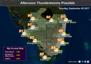
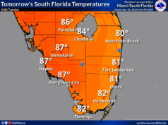
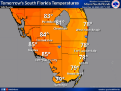
Wednesday will bring a mix of sun and clouds, as well as a few showers and a storm in spots. Wednesday’s highs will be in the low 90s.
Look for a similar early September mix on Thursday — sun, clouds, and a few showers and storms. Thursday’s highs will be in the low 90s.
Friday’s forecast includes sun, clouds, and a stray shower or storm as we wrap up hurricane preparations.
Look for conditions to deteriorate throughout Saturday, including tropical storm force winds.


