


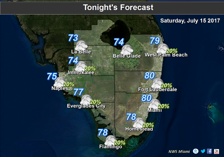
 South Florida could see a storm or two on Saturday, but one thing’s certain — it will definitely be hot. Some drier air is in place on Saturday, so we’ll see lots of sun, a few clouds, a moderate risk of dangerous rip currents at the Atlantic beaches, and a storm or two in the western suburbs as the sea breeze develops in the afternoon. Most of the storms will be well inland. Highs on Saturday will be in the low 90s but feel quite a bit hotter.
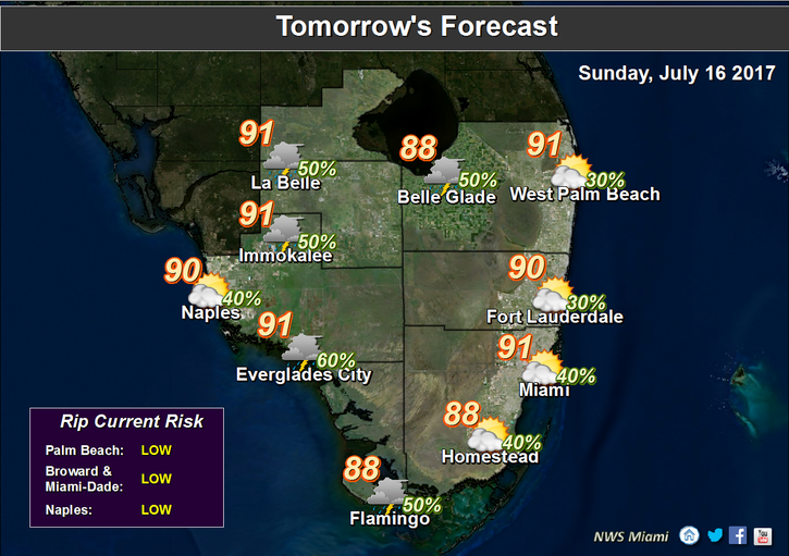 Sunday will bring an early mix of sun and clouds followed by some showers and storms (especially in the Keys) as a weak tropical wave passes to our south. Highs on Sunday will be in the low 90s.
Look for some early showers on Monday, with periods of sun and some afternoon storms on Monday. Monday’s highs will be in the low 90s.
Tuesday will see some typical summer weather, with a few coastal showers in the morning, sun and clouds, and some afternoon storms along the sea breeze. Tuesday’s highs will be in the low 90s.
Wednesday’s forecast includes an early shower or two, periods of sun, and a few afternoon storms, especially in the western suburbs. Wednesday’s highs will be in the low 90s.


