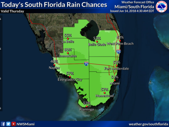
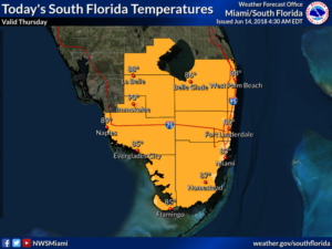
 South Florida will see typical June weather on Thursday, with sun, clouds, and late-day storms, but drier days are ahead. In the meantime, watch for an early mix of sun and clouds on Thursday, followed by showers and storms forming in the afternoon. Highs on Thursday will be mostly in the upper 80s.
Friday will bring more sun and fewer afternoon storms. Friday’s highs will be in the upper 80s in the east coast areas and around the 90 degree mark along the Gulf coast.
Some Saharan dust is expected during the weekend, damping down rain chances and bringing hazy skies. Saturday’s highs will be near 90 degrees.
Sunday will feature hot sun and maybe an isolated afternoon storm in spots. Sunday’s highs will be near 90 degrees.
Look for plenty of sun, a few clouds, and maybe a stray storm on Monday. Highs on Monday will be near 90 degrees.
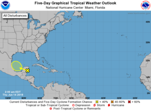 In the tropics, the area of showers and storms we’ve been watching is approaching the Yucatan. But conditions are becoming less favorable for tropical development in the southwestern Gulf of Mexico, so this feature has a very low chance of becoming a tropical depression during the next 5 days.


