

It won’t be the best of weekends in South Florida, unless you like storms followed by some of the coldest weather we’ve seen in a while. Storms are in the forecast for Friday, as a cold front approaches our area.
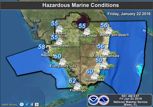
Look for early showers, highs in the upper 70s, a high risk of dangerous rip currents, and then afternoon and evening storms, bringing periods of heavy rain, gusty and possibly damaging winds, and dangerous lightning. Some minor coastal flooding is also possible.

The front sweeps through overnight, and Saturday’s temperatures won’t make it out of the upper 60s on a breezy and sunny day. Sunday morning will be very cold, with lows in the 40s throughout Miami-Dade and Broward. Even with lots of sun, highs will top out in the mid 60s on Sunday.
Monday morning will be cold again, with lows in the upper 40s to low 50s, but a warming trend will begin in the afternoon as highs reach the low 70s. Tuesday will be seasonably warm, with morning lows in the low 60s and highs in the mid 70s, but rain will return on Wednesday.

By Donna Thomas, SouthFloridaReporter.com Meteorologist, Jan. 22, 2016
[/vc_message]Disclaimer
Artificial Intelligence Disclosure & Legal Disclaimer
AI Content Policy.
To provide our readers with timely and comprehensive coverage, South Florida Reporter uses artificial intelligence (AI) to assist in producing certain articles and visual content.
Articles: AI may be used to assist in research, structural drafting, or data analysis. All AI-assisted text is reviewed and edited by our team to ensure accuracy and adherence to our editorial standards.
Images: Any imagery generated or significantly altered by AI is clearly marked with a disclaimer or watermark to distinguish it from traditional photography or editorial illustrations.
General Disclaimer
The information contained in South Florida Reporter is for general information purposes only.
South Florida Reporter assumes no responsibility for errors or omissions in the contents of the Service. In no event shall South Florida Reporter be liable for any special, direct, indirect, consequential, or incidental damages or any damages whatsoever, whether in an action of contract, negligence or other tort, arising out of or in connection with the use of the Service or the contents of the Service.
The Company reserves the right to make additions, deletions, or modifications to the contents of the Service at any time without prior notice. The Company does not warrant that the Service is free of viruses or other harmful components.

")
")


")