


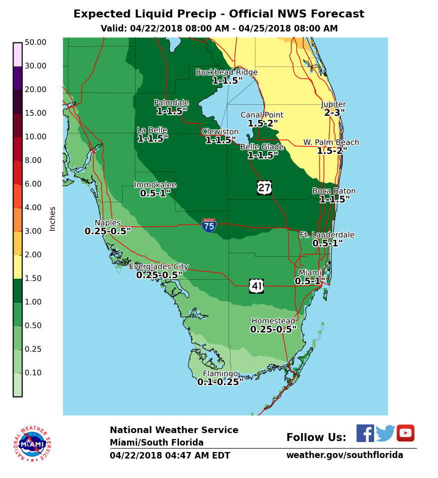
 Showers and storms are the weather story in South Florida on Sunday, and the unsettled weather will hang around for a few days. After a warm start with some overnight showers, Sunday features clouds, a bit of sun at times, and periods of showers with a few storms mixed in, especially along the east coast. A moderate risk of dangerous rip currents is in place at the beaches of Miami-Dade and Broward, and the rip current risk is high in Palm Beach County. Highs on Sunday will be in the mid 80s.
Monday morning will see some showers and lows mostly in the low 70s. The day will bring clouds, showers, and some storms again, especially in the east coast metro areas. Monday’s highs will be in the mid 80s.
Showers and clouds will stick around on Tuesday. Tuesday’s highs will be in the mid 80s.
Look for showers to taper off early on Wednesday, and we’ll see more sun and fewer clouds in the afternoon. Wednesday’s highs will be mostly in the mid 80s.
Thursday will bring drier air, plenty of sun, and a few clouds. Highs on Thursday will be in the mid 80s.


")