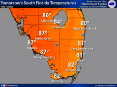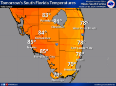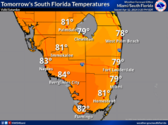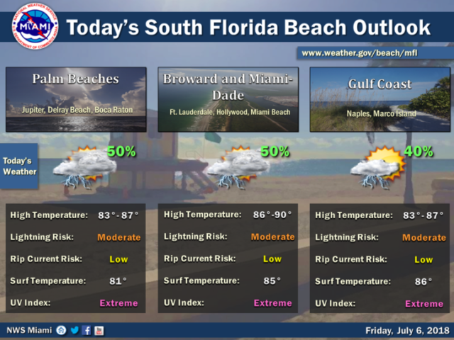
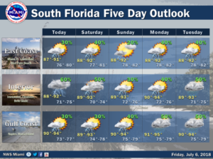
 It’s a hot Friday with afternoon storms in South Florida, but we’re also watching the tropics, where things are suddenly busy. Here at home, Friday starts with sun and clouds, but afternoon storms will develop in spots, especially in the metro areas of northern Broward and Palm Beach counties. An isolated strong storm — with heavy rain, gusty winds, and dangerous lightning — is possible. Highs on Friday will be in the low 90s.
Saturday will bring a mix of sun and clouds, followed by afternoon storms forming along the sea breezes. Saturday’s highs will be in the low 90s.
Look for sun, clouds, and afternoon storms in spots on Sunday. Sunday’s highs will be in the low 90s. Monday should bring fewer afternoon storms as some drier air filters in. Monday’s highs will be in the low 90s.
Tuesday’s forecast includes sun, clouds, and an afternoon storm or two along the sea breezes. Highs on Tuesday will be in the low 90s.
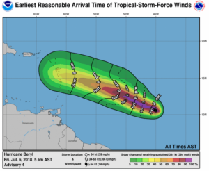 In the tropics, what was Tropical Depression # 2 quickly ramped up into Hurricane Beryl overnight. At 5 am Friday, Beryl was located near 10.6 North, 45.1 West, and was moving west at 14 miles per hour. Maximum sustained winds were 75 miles per hour, and Beryl could intensify before running into crippling wind shear on Saturday. Beryl is a difficult system to forecast because it is so small, with a core about 10 miles in diameter. (It’s tough for computer models to handle such a small atmospheric feature.) The forecast for Beryl brings it into the Lesser Antilles as a tropical storm late on Sunday and on Monday — but the hostile environment could batter it so badly that it will be an open wave. The environment in the Caribbean is not conducive to redevelopment, but we’ll keep an eye on Beryl — and what’s left of it.
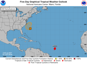 Elsewhere, the low southwest of Bermuda has a medium chance of developing into a depression during the next 5 days. This system will interact with a front late in the weekend, but it will then meander off the Carolina coast for a while. We’ll keep an eye on this one as well.


