 Coastal flooding from the King Tides will remain a concern into the start of the work week as the advisory has been extended until 3pm on Monday for the same areas highlighted in green.
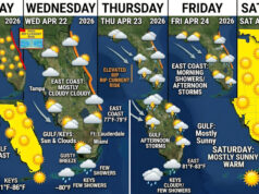
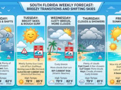
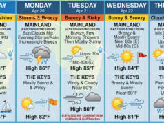
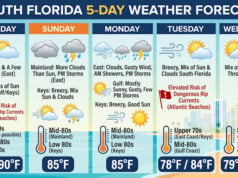
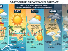
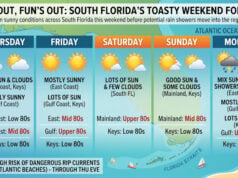
Drier air is working its way back into South Florida as high pressure builds in over the Western Atlantic. Expect an east breeze to ignite isolated morning showers in the coastal and metro cities with inland afternoon/evening storms for much of the week. Under partly sunny skies, daytime highs will peak in the upper 80s to low 90s.
Models suggest a stalled front will be draped over Northern Florida starting on Thursday and a tropical wave will move in from The Bahamas. If the moisture holds, these features will bring us a better chance of showers and storms by Friday and maybe even Saturday.
TROPICS
 Tropical Depression Nate is on move towards the north northeast producing gusty winds and heavy rain as it continues to downgrade over land.
On the forecast track, Nate will quickly move to the northeast by the Central Appalachians in 24 hours and through the northeast exiting Maine on Tuesday. Additionally, this system is expected to be a remnant low over the northeast on Monday.
There is also a low producing scattered showers and a few storms about 800 miles southwest of the Azores in the open Atlantic waters.
According to the National Hurricane Center, a slight increase in the amount and organization of the shower activity would result in the formation of a subtropical or tropical cyclone on Sunday before environmental conditions become less favorable for development on Monday.
It has high chances for tropical development over the next 5 days. Not expected to be a threat to land.
Disclaimer
Artificial Intelligence Disclosure & Legal Disclaimer
AI Content Policy.
To provide our readers with timely and comprehensive coverage, South Florida Reporter uses artificial intelligence (AI) to assist in producing certain articles and visual content.
Articles: AI may be used to assist in research, structural drafting, or data analysis. All AI-assisted text is reviewed and edited by our team to ensure accuracy and adherence to our editorial standards.
Images: Any imagery generated or significantly altered by AI is clearly marked with a disclaimer or watermark to distinguish it from traditional photography or editorial illustrations.
General Disclaimer
The information contained in South Florida Reporter is for general information purposes only.
South Florida Reporter assumes no responsibility for errors or omissions in the contents of the Service. In no event shall South Florida Reporter be liable for any special, direct, indirect, consequential, or incidental damages or any damages whatsoever, whether in an action of contract, negligence or other tort, arising out of or in connection with the use of the Service or the contents of the Service.
The Company reserves the right to make additions, deletions, or modifications to the contents of the Service at any time without prior notice. The Company does not warrant that the Service is free of viruses or other harmful components.


