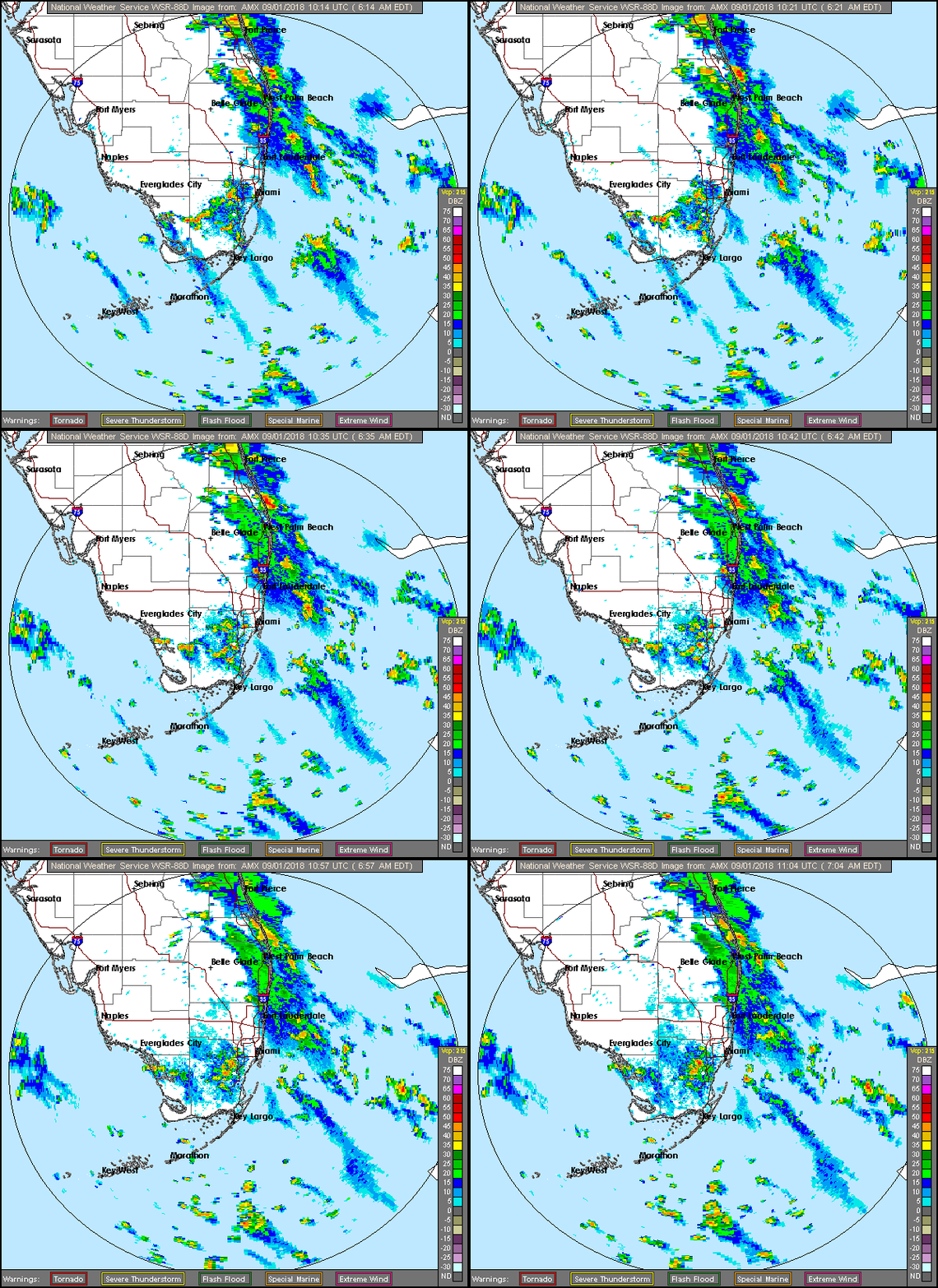
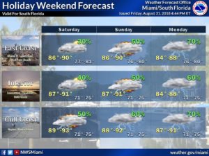
 South Florida’s holiday weekend will be wet — and after Saturday — increasingly windy, thanks to an approaching tropical wave. After plenty of early east coast showers and storms, Saturday features periods of sun, clouds, and showers and storms in the afternoon. Late-day showers and storms will focus on the interior and Gulf coast. A moderate risk of dangerous rip currents is in place at the Atlantic beaches on Saturday, increasing to a high risk on Sunday and Monday. Highs on Saturday will be in the upper 80s along the east coast and around 90 degrees elsewhere.
Sunday will bring periods of showers and storms along with plenty of clouds on the breeze. We can expect up to 3 inches of rain, starting on Sunday and going into Labor Day, so localized flooding is possible. Sunday’s highs will be in the upper 80s.
Labor Day will be pretty much a washout, so make indoor plans for a stormy holiday. Monday’s highs will be in the upper 80s.
Tuesday will feature some lingering showers and storms as the tropical wave moves into the Gulf of Mexico. We’ll also see some sun on Tuesday. Tuesday’s highs will be in the upper 80s.
Look for a more typical rainy season pattern on Wednesday, with sun, clouds, and mostly afternoon showers with a few storms in spots. Highs on Wednesday will be near 90 degrees.
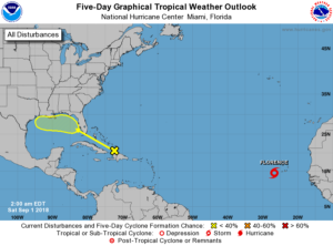 In the tropics, the wave that will pass over our area this weekend has a low chance of development during the next 5 days, but it will find more favorable conditions once it emerges in the Gulf of Mexico. And what was Tropical Depression # 6 is now Tropical Storm Florence. At 5 am Saturday, Florence was located near 14.5 North, 26.7 West, just west of the Cape Verde Islands in the eastern Atlantic. Florence had maximum sustained winds of 40 miles per hour and was moving west-northwest at 14 miles per hour. Florence is expected to strengthen but remain well out to sea.


