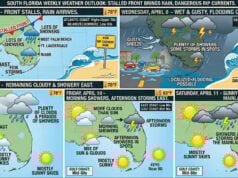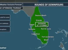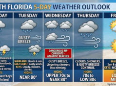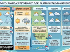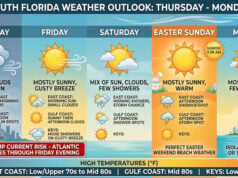
 The area of disturbed weather we’ve been watching is now Tropical Depression # 3, and it will bring plenty of rain to South Florida and the Bahamas. At 5 am Monday, TD # 3 was located near 25.6 North, 78.6 West, about 120 southeast of West Palm Beach. TD # 3 was moving northwest at 13 miles per hour, and its maximum sustained winds were 30 miles per hour. TD # 3 is not expected to strengthen much and will stay just off the Florida east coast before dissipating during the next 2 to 3 days.
South Florida and the Bahamas can expect periods of heavy rain and gusty winds from TD # 3 on Tuesday into early Wednesday. Rainfall amounts on Tuesday could reach 3 inches in spots.
Disclaimer
Artificial Intelligence Disclosure & Legal Disclaimer
AI Content Policy.
To provide our readers with timely and comprehensive coverage, South Florida Reporter uses artificial intelligence (AI) to assist in producing certain articles and visual content.
Articles: AI may be used to assist in research, structural drafting, or data analysis. All AI-assisted text is reviewed and edited by our team to ensure accuracy and adherence to our editorial standards.
Images: Any imagery generated or significantly altered by AI is clearly marked with a disclaimer or watermark to distinguish it from traditional photography or editorial illustrations.
General Disclaimer
The information contained in South Florida Reporter is for general information purposes only.
South Florida Reporter assumes no responsibility for errors or omissions in the contents of the Service. In no event shall South Florida Reporter be liable for any special, direct, indirect, consequential, or incidental damages or any damages whatsoever, whether in an action of contract, negligence or other tort, arising out of or in connection with the use of the Service or the contents of the Service.
The Company reserves the right to make additions, deletions, or modifications to the contents of the Service at any time without prior notice. The Company does not warrant that the Service is free of viruses or other harmful components.


