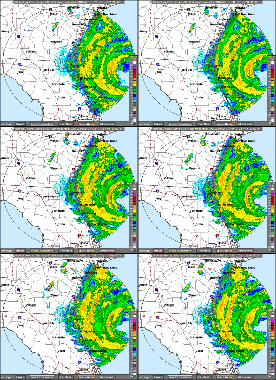
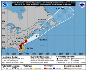
 Hurricane Dorian is lashing the northern Florida and Georgia coast at mid-day on Wednesday, while its future track shows it coming dangerously close to the Carolina coast late on Wednesday into early Friday.
At 1pm Wednesday, Dorian was located near 30.1 North, 79.7 West, about 190 miles south of Charleston, South Carolina. Maximum sustained winds were 105 miles per hour, so Dorian remains a dangerous category 2 hurricane. It was moving north-northwest at 9 miles per hour.
A hurricane warning is in effect from north of the Savannah River to the North Carolina/Virginia border. A tropical storm warning remains in effect from the Volusia/Brevard county line in Florida to the Savannah River. A storm surge warning is in effect from north of Port Canaveral, Florida, to the North Carolina/Virginia border.
Storm surge will be moving into the South Carolina low country well in advance of Dorian’s strongest winds, and this storm surge is life-threatening. Dorian could make landfall somewhere along the South Carolina or North Carolina coast on Thursday or early on Friday. The Outer Banks are especially at risk.
We’ll have more information after the 5 pm advisory from the National Hurricane Center.
Disclaimer
Artificial Intelligence Disclosure & Legal Disclaimer
AI Content Policy.
To provide our readers with timely and comprehensive coverage, South Florida Reporter uses artificial intelligence (AI) to assist in producing certain articles and visual content.
Articles: AI may be used to assist in research, structural drafting, or data analysis. All AI-assisted text is reviewed and edited by our team to ensure accuracy and adherence to our editorial standards.
Images: Any imagery generated or significantly altered by AI is clearly marked with a disclaimer or watermark to distinguish it from traditional photography or editorial illustrations.
General Disclaimer
The information contained in South Florida Reporter is for general information purposes only.
South Florida Reporter assumes no responsibility for errors or omissions in the contents of the Service. In no event shall South Florida Reporter be liable for any special, direct, indirect, consequential, or incidental damages or any damages whatsoever, whether in an action of contract, negligence or other tort, arising out of or in connection with the use of the Service or the contents of the Service.
The Company reserves the right to make additions, deletions, or modifications to the contents of the Service at any time without prior notice. The Company does not warrant that the Service is free of viruses or other harmful components.


