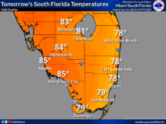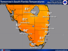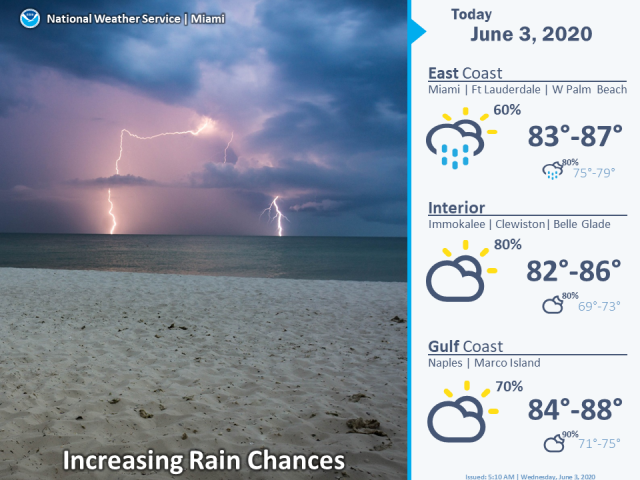
 Wednesday features lots of clouds and periods of showers and storms as tropical moisture moves into South Florida. Localized flooding is possible, especially in western and extreme northern portions of the area. A high risk of dangerous rip currents remains along the Atlantic coast. Highs on Wednesday will be in the mid 80s.
LIVE RADAR 24/7 (Click Here Then Press Play)
After overnight showers and storms, Thursday will feature cloudy skies and plenty of showers and storms. Street flooding is possible in some locations. Thursday’s highs will be in the mid 80s.
Friday will be another day of clouds, showers, and storms. Flooding will continue to be a threat. Friday’s highs will be mostly in the mid 80s.
The weather this weekend will depend on the track and strength of Tropical Storm Cristobal and how much of its moisture field will affect South Florida. For now, we’ll say Saturday will be cloudy and breezy with periods of showers and storms. Saturday’s highs will be in the mid to upper 80s.
Sunday’s forecast calls for cloudy skies and periods of showers and storms, but the track of Cristobal will affect how much rain we see. Highs on Sunday will be in the mid to upper 80s.
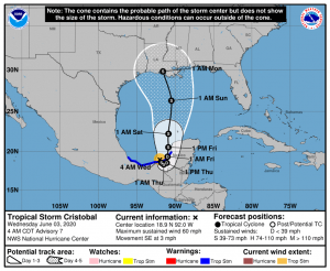 In the tropics, what had been Tropical Depression # 3 strengthened into Tropical Storm Cristobal on Tuesday afternoon. At 5 am Wednesday, Cristobal was located near 18.9 North, 92.0 West, just off the Mexican coast. Cristobal was moving southeast at 3 miles per hour, and it had maximum sustained winds of 60 miles per hour. Cristobal will make landfall in southeastern Mexico and weaken to a depression, while bringing flooding rains to the region. By the weekend, Cristobal is forecast to move northward into the Gulf of Mexico and restrengthen to at least a tropical storm before making landfall again along the northern Gulf coast of the U.S.


