


 Monday features lots of sun and a few clouds to start. Then showers and storms will move in, with the bulk of the activity in the east coast metro area. A moderate risk of dangerous rip currents remains at the Gulf beaches. Highs on Monday will be in the upper 80s along the Gulf Coast and near 90 degrees in the east coast metro area.
LIVE RADAR 24/7 (Click Here Then Press Play)
Tuesday will see sunny skies as drier air filters in. A few quick east coast showers are possible in the morning. Tuesday’s highs will be in the upper 80s.
Wednesday will be another sunny and pleasant day. Wednesday’s highs will be in the upper 80s.
Thursday will feature good sun and some afternoon showers in spots. Thursday’s highs will be in the upper 80s.
Friday’s forecast includes a mix of sun and clouds with periods of showers. Highs on Friday will be in the upper 80s again.
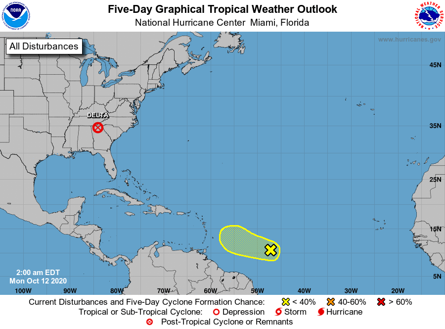 In the tropics, the wave that’s now about 900 miles from the Lesser Antilles has a low chance of becoming a depression during the next couple of days. Then conditions are expected to be unfavorable for further development.


