


 Thursday features a mix of sun and clouds to start, with showers and storms on a brisk breeze in the afternoon. A flood watch remains in effect for the east coast metro area through Thursday evening, because the ground is saturated. A high risk of dangerous rip currents is in place at the Atlantic beaches through Friday evening. Minor flooding at high tide is likely along the Atlantic coast through Thursday evening. Highs on Thursday will be in the mid-80s.
LIVE RADAR 24/7 (Click Here Then Press Play)
Friday will bring good sun and some clouds to start, a brisk ocean breeze along the east coast during the day, and widespread showers and a few storms in the afternoon. Friday’s highs will be in the mid-80s.
Saturday will feature good sun and some clouds in the morning, with spotty showers and storms developing in the afternoon. Look for breezy conditions near the east coast. Saturday’s highs will be in the mid-80s.
Sunday will see mostly sunny skies alternating with periods of showers and storms. Sunday’s highs will be in the mid-80s.
Sunday will see the return of sunny skies, with some showers popping up in the afternoon. Highs on Sunday will be in the mid-80s again.
 In the tropics, Hurricane Epsilon’s large wind field will brush Bermuda on Thursday, and a tropical storm warning is in effect there. At 5 am Thursday, Epsilon was located near 30.6 North, 60.9 West, about 260 miles east-southeast of Bermuda. Maximum sustained winds were 110 miles per hour, and Epsilon was moving northwest at 7 miles per hour. Epsilon is forecast to remain in the open ocean until it weakens near Iceland early next week.
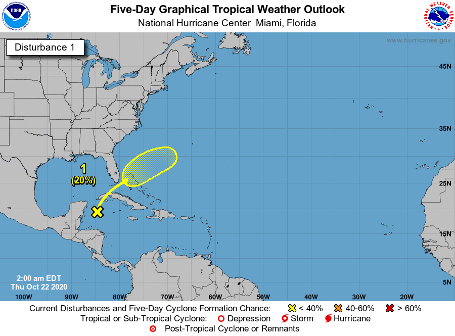 Elsewhere, we’re once again watching the western Caribbean. The National Hurricane Center says the trough of low pressure that has made our week so wet has a low chance of developing — but its center will end up near the Bahamas late in the weekend. While the NHC is forecasting slow development in the western Atlantic, we’ll keep an eye on all this until this feature has left our neighborhood.


