


 South Florida will see a summertime mix of sun, showers, and storms on Sunday. After another warm start, Sunday will bring passing showers during the morning, along with sun and clouds. Some storms will form along the sea breeze in the afternoon, with most of the activity in the western suburbs and well inland. Highs on Sunday will be in the low 90s.
 Monday will be another typical summer day, with some early showers, especially at the coast, a mix of sun and clouds, and afternoon storms moving along the sea breeze. Monday’s highs will be in the low 90s. The ocean breeze will create an elevated risk of dangerous rip currents on Monday and during much of the work week.
Tuesday will see more early showers, hot sun, and some afternoon storms. Tuesday’s highs will be in the low 90s.
Wednesday will bring passing showers, periods of sun, and some afternoon storms. Highs on Wednesday will be near 90 degrees.
A bit more sun will be around on Thursday, but don’t count out some early showers and those afternoon storms. Thursday’s highs will be mostly in the low 90s.
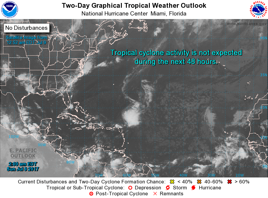 In the tropics, we’re keeping an eye on the remnants of Tropical Depression # 4, a wave in the Caribbean, and 2 others in the far eastern Atlantic. None of these are expected to develop during the next few days.


